Area Overview for SE3 7LL
Photos of SE3 7LL
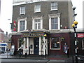
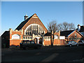
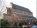
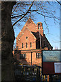
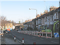
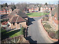
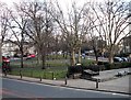
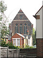
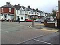
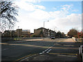
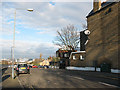
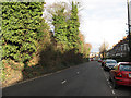
100 photos from this area
Area Information
Key information about the SE3 7LL including its size, population, and administrative classification.
- Area Type
- Postcode
- Area Size
- 4469 m²
- Population
- 1426
- Population Density
- 6657 people/km²
House Prices in SE3 7LL
24
Properties
£210,719
Average Sold Price
£65,000
Lowest Price
£360,000
Highest Price
Showing 24 properties
| Address | Type | Beds | Baths | Last Sale Price | Last Sale Date | |
|---|---|---|---|---|---|---|
| 23 Beaconsfield Close, Blackheath, SE3 7LL | Flat | 2 | 1 | £352,000 | Aug 2022 | |
| 1 Beaconsfield Close, Blackheath, SE3 7LL | Flat | 1 | 1 | £360,000 | Feb 2021 | |
| 12 Beaconsfield Close, Blackheath, SE3 7LL | Flat | - | - | £270,000 | Mar 2013 | |
| 18 Beaconsfield Close, Blackheath, SE3 7LL | Flat | - | - | £195,000 | Mar 2011 | |
| 16 Beaconsfield Close, Blackheath, SE3 7LL | Flat | - | - | £195,000 | Feb 2011 | |
| 20 Beaconsfield Close, Blackheath, SE3 7LL | Flat | - | - | £130,000 | Oct 2001 | |
| 21 Beaconsfield Close, Blackheath, SE3 7LL | Flat | - | - | £118,750 | Aug 2001 | |
| 13 Beaconsfield Close, Blackheath, SE3 7LL | Flat | - | - | £65,000 | Jan 1998 | |
| 9 Beaconsfield Close, Blackheath, SE3 7LL | Flat | - | - | - | - | |
| 3 Beaconsfield Close, Blackheath, SE3 7LL | Flat | - | - | - | - |
Page 1 of 3
Energy Efficiency in SE3 7LL
Amenities
Schools
| Rank | School | Type | Entry gender | Ages |
|---|
Explore more schools in this area
Go to Schools tabDemographics
Household Size
One person
most common
Accommodation Type
Flats
most common
Tenure
46
majority
Ethnic Group
White
most common
Religion
N/A
most common
Household Composition
N/A
most common
Age
47
median
Adults (30-64 years)
most common
Household Deprivation
N/A
with no deprivation
NS-SEC
48
in Lower managerial occupations
Explore more demographic insights in this area
Go to Demographics tabPlanning
Planning Constraints
- Flood RiskPremium
- Ramsar Wetland SitesPremium
- Area of Outstanding Natural BeautyPremium
- Protected Nature ReservePremium
- Protected WoodlandPremium