Area Overview for SE3 7DU
Photos of SE3 7DU
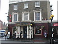
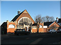
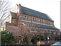
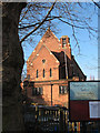
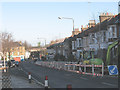
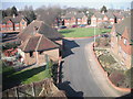
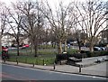
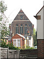
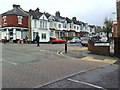
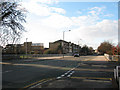
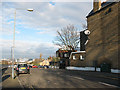
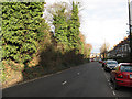
100 photos from this area
Area Information
Key information about the SE3 7DU including its size, population, and administrative classification.
- Area Type
- Postcode
- Area Size
- 1.1 hectares
- Population
- 1578
- Population Density
- 7558 people/km²
House Prices in SE3 7DU
58
Properties
£467,800
Average Sold Price
£207,000
Lowest Price
£885,000
Highest Price
Showing 58 properties
| Address | Type | Beds | Baths | Last Sale Price | Last Sale Date | |
|---|---|---|---|---|---|---|
| 69 Westcombe Hill, Blackheath, SE3 7DU | Terraced | 3 | 1 | £750,000 | Mar 2024 | |
| 95 Westcombe Hill, Blackheath, SE3 7DU | house | 3 | - | £885,000 | Nov 2022 | |
| 47 Westcombe Hill, Blackheath, SE3 7DU | house | - | - | £675,000 | Nov 2021 | |
| 89 Westcombe Hill, Blackheath, SE3 7DU | Terraced | 5 | 2 | £630,000 | Mar 2017 | |
| 43 Westcombe Hill, Blackheath, SE3 7DU | house | 3 | 1 | £595,000 | Oct 2016 | |
| 41 Westcombe Hill, Blackheath, SE3 7DU | house | - | 1 | £470,000 | Oct 2015 | |
| 49 Westcombe Hill, Blackheath, SE3 7DU | Terraced | 3 | 2 | £550,000 | Dec 2013 | |
| 55 Westcombe Hill, Blackheath, SE3 7DU | Terraced | 3 | - | £420,000 | Oct 2013 | |
| 53 Westcombe Hill, Blackheath, SE3 7DU | house | 3 | - | £360,000 | Sep 2011 | |
| 45 Westcombe Hill, Blackheath, SE3 7DU | house | - | - | £300,000 | May 2011 |
Page 1 of 6
Energy Efficiency in SE3 7DU
Amenities
Schools
| Rank | School | Type | Entry gender | Ages |
|---|
Explore more schools in this area
Go to Schools tabDemographics
Household Size
One person
most common
Accommodation Type
Flats
most common
Tenure
44
majority
Ethnic Group
White
most common
Religion
N/A
most common
Household Composition
N/A
most common
Age
47
median
Adults (30-64 years)
most common
Household Deprivation
N/A
with no deprivation
NS-SEC
50
in Lower managerial occupations
Explore more demographic insights in this area
Go to Demographics tabPlanning
Planning Constraints
- Flood RiskPremium
- Ramsar Wetland SitesPremium
- Area of Outstanding Natural BeautyPremium
- Protected Nature ReservePremium
- Protected WoodlandPremium