Area Overview for SE28 8FX
Photos of SE28 8FX
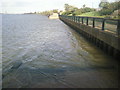
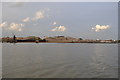
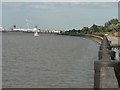
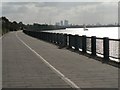
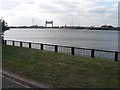
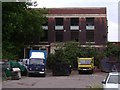

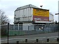
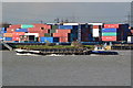
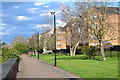
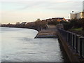
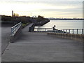
65 photos from this area
Area Information
Key information about the SE28 8FX including its size, population, and administrative classification.
- Area Type
- Postcode
- Area Size
- 5.1 hectares
- Population
- 2670
- Population Density
- 7525 people/km²
House Prices in SE28 8FX
66
Properties
£182,876
Average Sold Price
£84,500
Lowest Price
£440,000
Highest Price
Showing 66 properties
| Address | Type | Beds | Baths | Last Sale Price | Last Sale Date | |
|---|---|---|---|---|---|---|
| 240 Greenhaven Drive, Thamesmead, SE28 8FX | Flat | 2 | 1 | £251,000 | Mar 2025 | |
| 271 Greenhaven Drive, Thamesmead, SE28 8FX | Flat | 2 | - | £250,000 | Jul 2024 | |
| 270 Greenhaven Drive, Thamesmead, SE28 8FX | Flat | 2 | 1 | £227,000 | Dec 2023 | |
| 252 Greenhaven Drive, Thamesmead, SE28 8FX | house | 3 | 3 | £440,000 | Oct 2023 | |
| 224 Greenhaven Drive, Thamesmead, SE28 8FX | Retail | 2 | 1 | £345,000 | Nov 2021 | |
| 242 Greenhaven Drive, Thamesmead, SE28 8FX | Flat | 2 | - | £210,000 | Jun 2021 | |
| 211 Greenhaven Drive, Thamesmead, SE28 8FX | Flat | 2 | 1 | £215,000 | May 2021 | |
| 245 Greenhaven Drive, Thamesmead, SE28 8FX | Flat | - | - | £229,000 | May 2021 | |
| 237 Greenhaven Drive, Thamesmead, SE28 8FX | Flat | 2 | - | £170,000 | Mar 2021 | |
| 226 Greenhaven Drive, Thamesmead, SE28 8FX | Detached | 3 | 1 | £297,500 | Mar 2020 |
Page 1 of 7
Energy Efficiency in SE28 8FX
Amenities
Schools
| Rank | School | Type | Entry gender | Ages |
|---|
Explore more schools in this area
Go to Schools tabDemographics
Household Size
Family (3-5 people)
most common
Accommodation Type
Houses
most common
Tenure
35
majority
Ethnic Group
black_total
most common
Religion
N/A
most common
Household Composition
N/A
most common
Age
47
median
Adults (30-64 years)
most common
Household Deprivation
N/A
with no deprivation
NS-SEC
26
in Lower managerial occupations
Explore more demographic insights in this area
Go to Demographics tabPlanning
Planning Constraints
- Flood RiskPremium
- Ramsar Wetland SitesPremium
- Area of Outstanding Natural BeautyPremium
- Protected Nature ReservePremium
- Protected WoodlandPremium