Area Overview for SE28 8BT
Photos of SE28 8BT
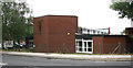
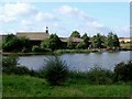
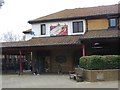
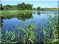
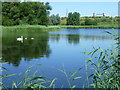
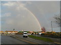
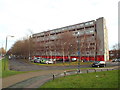
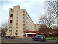
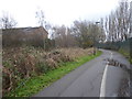
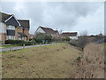
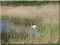
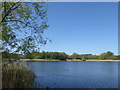
69 photos from this area
Area Information
Key information about the SE28 8BT including its size, population, and administrative classification.
- Area Type
- Postcode
- Area Size
- 9377 m²
- Population
- 1470
- Population Density
- 19812 people/km²
House Prices in SE28 8BT
50
Properties
£155,875
Average Sold Price
£39,000
Lowest Price
£355,000
Highest Price
Showing 50 properties
| Address | Type | Beds | Baths | Last Sale Price | Last Sale Date | |
|---|---|---|---|---|---|---|
| 43 Passfield Path, Thamesmead, SE28 8BT | Terraced | 3 | 1 | £355,000 | Jan 2025 | |
| 17 Passfield Path, Thamesmead, SE28 8BT | Terraced | 3 | 1 | £250,000 | Oct 2020 | |
| 22 Passfield Path, Thamesmead, SE28 8BT | house | 3 | 1 | £300,000 | Oct 2017 | |
| 21 Passfield Path, Thamesmead, SE28 8BT | Semi-detached | 3 | - | £150,000 | Jun 2013 | |
| 36 Passfield Path, Thamesmead, SE28 8BT | house | - | - | £148,000 | Jun 2012 | |
| 46 Passfield Path, Thamesmead, SE28 8BT | Terraced | 3 | 1 | £138,000 | Jan 2012 | |
| 48 Passfield Path, Thamesmead, SE28 8BT | Terraced | - | - | £180,500 | Nov 2007 | |
| 11 Passfield Path, Thamesmead, SE28 8BT | house | - | - | £175,000 | Feb 2006 | |
| 32 Passfield Path, Thamesmead, SE28 8BT | Semi-detached | 4 | - | £139,000 | Aug 2003 | |
| 23 Passfield Path, Thamesmead, SE28 8BT | house | 3 | - | £138,500 | Jul 2003 |
Page 1 of 5
Energy Efficiency in SE28 8BT
Amenities
Schools
| Rank | School | Type | Entry gender | Ages |
|---|
Explore more schools in this area
Go to Schools tabDemographics
Household Size
Family (3-5 people)
most common
Accommodation Type
Flats
most common
Tenure
17
majority
Ethnic Group
White
most common
Religion
N/A
most common
Household Composition
N/A
most common
Age
47
median
Adults (30-64 years)
most common
Household Deprivation
N/A
with no deprivation
NS-SEC
18
in Lower managerial occupations
Explore more demographic insights in this area
Go to Demographics tabPlanning
Planning Constraints
- Flood RiskPremium
- Ramsar Wetland SitesPremium
- Area of Outstanding Natural BeautyPremium
- Protected Nature ReservePremium
- Protected WoodlandPremium