Area Overview for SE28 8AX
Photos of SE28 8AX
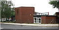
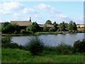
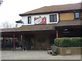
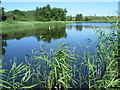
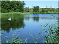
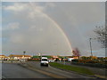
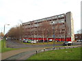
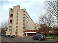
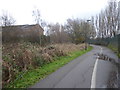
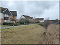
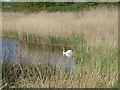
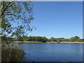
69 photos from this area
Area Information
Key information about the SE28 8AX including its size, population, and administrative classification.
- Area Type
- Postcode
- Area Size
- 1.6 hectares
- Population
- 1743
- Population Density
- 4549 people/km²
House Prices in SE28 8AX
40
Properties
£176,708
Average Sold Price
£43,000
Lowest Price
£305,000
Highest Price
Showing 40 properties
| Address | Type | Beds | Baths | Last Sale Price | Last Sale Date | |
|---|---|---|---|---|---|---|
| 70 Cole Close, Thamesmead, SE28 8AX | Semi-detached | 3 | 1 | £236,000 | Jun 2022 | |
| 51 Cole Close, Thamesmead, SE28 8AX | Terraced | 1 | - | £305,000 | Jun 2021 | |
| 67 Cole Close, Thamesmead, SE28 8AX | house | 1 | 1 | £279,950 | Jan 2021 | |
| 86 Cole Close, Thamesmead, SE28 8AX | Flat | - | - | £160,000 | Mar 2020 | |
| 78 Cole Close, Thamesmead, SE28 8AX | Terraced | 3 | - | £250,000 | May 2015 | |
| 71 Cole Close, Thamesmead, SE28 8AX | house | 3 | - | £170,000 | Mar 2013 | |
| 76 Cole Close, Thamesmead, SE28 8AX | house | 3 | - | £168,500 | Jun 2012 | |
| 62 Cole Close, Thamesmead, SE28 8AX | house | 3 | - | £152,000 | Aug 2011 | |
| 72 Cole Close, Thamesmead, SE28 8AX | house | 3 | - | £170,000 | Apr 2011 | |
| 60 Cole Close, Thamesmead, SE28 8AX | house | - | - | £196,000 | Mar 2008 |
Page 1 of 4
Energy Efficiency in SE28 8AX
Amenities
Schools
| Rank | School | Type | Entry gender | Ages |
|---|
Explore more schools in this area
Go to Schools tabDemographics
Household Size
Family (3-5 people)
most common
Accommodation Type
Houses
most common
Tenure
42
majority
Ethnic Group
White
most common
Religion
N/A
most common
Household Composition
N/A
most common
Age
47
median
Adults (30-64 years)
most common
Household Deprivation
N/A
with no deprivation
NS-SEC
25
in Lower managerial occupations
Explore more demographic insights in this area
Go to Demographics tabPlanning
Planning Constraints
- Flood RiskPremium
- Ramsar Wetland SitesPremium
- Area of Outstanding Natural BeautyPremium
- Protected Nature ReservePremium
- Protected WoodlandPremium