Area Overview for SE28 0JF
Photos of SE28 0JF
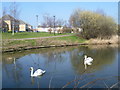
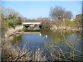
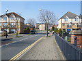
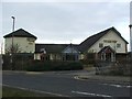
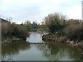
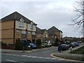
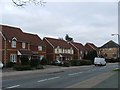
66 photos from this area
Area Information
Key information about the SE28 0JF including its size, population, and administrative classification.
- Area Type
- Postcode
- Area Size
- 2130 m²
- Population
- 2698
- Population Density
- 4732 people/km²
House Prices in SE28 0JF
10
Properties
£231,182
Average Sold Price
£139,995
Lowest Price
£425,000
Highest Price
Showing 10 properties
| Address | Type | Beds | Baths | Last Sale Price | Last Sale Date | |
|---|---|---|---|---|---|---|
| 107 Kentlea Road, Thamesmead, SE28 0JF | Terraced | 2 | 1 | £345,000 | Jan 2022 | |
| 103 Kentlea Road, Thamesmead, SE28 0JF | house | - | - | £425,000 | Oct 2021 | |
| 111 Kentlea Road, Thamesmead, SE28 0JF | Semi-detached | 2 | 1 | £186,000 | Jul 2015 | |
| 119 Kentlea Road, Thamesmead, SE28 0JF | house | - | - | £192,652 | Feb 2008 | |
| 109 Kentlea Road, Thamesmead, SE28 0JF | house | 3 | - | £225,000 | Jul 2007 | |
| 101 Kentlea Road, Thamesmead, SE28 0JF | Semi-detached | - | - | £200,000 | May 2006 | |
| 113 Kentlea Road, Thamesmead, SE28 0JF | house | - | - | £222,000 | Aug 2005 | |
| 117 Kentlea Road, Thamesmead, SE28 0JF | house | - | - | £139,995 | Dec 2001 | |
| 115 Kentlea Road, Thamesmead, SE28 0JF | Semi-detached | - | - | £144,995 | Nov 2001 | |
| 105 Kentlea Road, Thamesmead, SE28 0JF | Terraced | 3 | 1 | - | - |
Energy Efficiency in SE28 0JF
Amenities
Schools
| Rank | School | Type | Entry gender | Ages |
|---|
Explore more schools in this area
Go to Schools tabDemographics
Household Size
Family (3-5 people)
most common
Accommodation Type
Houses
most common
Tenure
44
majority
Ethnic Group
black_total
most common
Religion
N/A
most common
Household Composition
N/A
most common
Age
22
median
Adults (30-64 years)
most common
Household Deprivation
N/A
with no deprivation
NS-SEC
21
in Lower managerial occupations
Explore more demographic insights in this area
Go to Demographics tabPlanning
Planning Constraints
- Flood RiskPremium
- Ramsar Wetland SitesPremium
- Area of Outstanding Natural BeautyPremium
- Protected Nature ReservePremium
- Protected WoodlandPremium