Area Overview for SE27 9QN
Photos of SE27 9QN
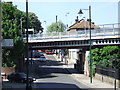
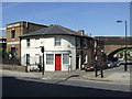
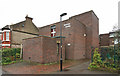
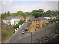
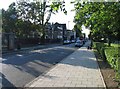
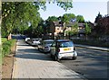
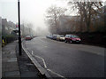
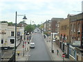
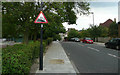

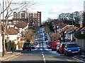
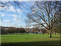
100 photos from this area
Area Information
Key information about the SE27 9QN including its size, population, and administrative classification.
- Area Type
- Postcode
- Area Size
- 3193 m²
- Population
- 1576
- Population Density
- 8849 people/km²
House Prices in SE27 9QN
22
Properties
£421,429
Average Sold Price
£57,000
Lowest Price
£645,000
Highest Price
Showing 22 properties
| Address | Type | Beds | Baths | Last Sale Price | Last Sale Date | |
|---|---|---|---|---|---|---|
| 25A St Louis Road, London, SE27 9QN | house | 2 | 1 | £645,000 | Jun 2025 | |
| 35A St Louis Road, London, SE27 9QN | Terraced | 3 | 1 | £610,000 | Sep 2024 | |
| 29 St Louis Road, London, SE27 9QN | Detached | 2 | 1 | £625,000 | Aug 2024 | |
| 21 St Louis Road, London, SE27 9QN | house | - | - | £545,000 | Sep 2022 | |
| 27A St Louis Road, London, SE27 9QN | Terraced | 2 | 1 | £572,500 | Sep 2021 | |
| 23 St Louis Road, London, SE27 9QN | Terraced | 2 | 1 | £584,500 | Aug 2019 | |
| 19 St Louis Road, London, SE27 9QN | Terraced | 1 | 1 | £405,000 | Jul 2019 | |
| 31 St Louis Road, London, SE27 9QN | house | - | - | £585,000 | Dec 2017 | |
| 33 St Louis Road, London, SE27 9QN | house | - | - | £480,000 | Jul 2016 | |
| 31A St Louis Road, London, SE27 9QN | Flat | - | - | £300,000 | Mar 2013 |
Page 1 of 3
Energy Efficiency in SE27 9QN
Amenities
Schools
| Rank | School | Type | Entry gender | Ages |
|---|
Explore more schools in this area
Go to Schools tabDemographics
Household Size
Family (3-5 people)
most common
Accommodation Type
Flats
most common
Tenure
46
majority
Ethnic Group
White
most common
Religion
N/A
most common
Household Composition
N/A
most common
Age
47
median
Adults (30-64 years)
most common
Household Deprivation
N/A
with no deprivation
NS-SEC
43
in Lower managerial occupations
Explore more demographic insights in this area
Go to Demographics tabPlanning
Planning Constraints
- Flood RiskPremium
- Ramsar Wetland SitesPremium
- Area of Outstanding Natural BeautyPremium
- Protected Nature ReservePremium
- Protected WoodlandPremium