Area Overview for SE27 9JS
Photos of SE27 9JS
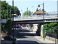
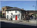
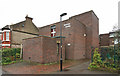
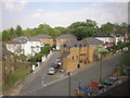
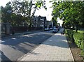
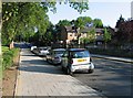
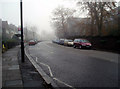
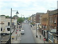
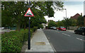

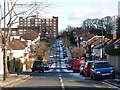
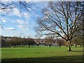
100 photos from this area
Area Information
Key information about the SE27 9JS including its size, population, and administrative classification.
- Area Type
- Postcode
- Area Size
- 6647 m²
- Population
- 1887
- Population Density
- 5473 people/km²
House Prices in SE27 9JS
29
Properties
£137,500
Average Sold Price
£85,000
Lowest Price
£190,000
Highest Price
Showing 29 properties
| Address | Type | Beds | Baths | Last Sale Price | Last Sale Date | |
|---|---|---|---|---|---|---|
| 91A Norwood High Street, London, SE27 9JS | Flat | - | - | £85,000 | Jul 2006 | |
| 57 Norwood High Street, London, SE27 9JS | Flat | - | - | £190,000 | Feb 2004 | |
| Unit 1B, 47 Norwood High Street, London, SE27 9JS | Terraced | 3 | - | - | - | |
| Travis Perkins, 61-79 Norwood High Street, London, SE27 9JS | shop | - | - | - | - | |
| Unit 2, 47 Norwood High Street, London, SE27 9JS | commercial | - | - | - | - | |
| 55A Norwood High Street, London, SE27 9JS | Flat | - | - | - | - | |
| 55 Norwood High Street, London, SE27 9JS | Flat | - | - | - | - | |
| Barry's Bar, 91 Norwood High Street, London, SE27 9JS | restaurant_cafe | - | - | - | - | |
| Unit 3, The Boat House, 47 Norwood High Street, London, SE27 9JS | Flat | 2 | 1 | - | - | |
| Ground Floor Flat, 53 Norwood High Street, London, SE27 9JS | Flat | - | - | - | - |
Page 1 of 3
Energy Efficiency in SE27 9JS
Amenities
Schools
| Rank | School | Type | Entry gender | Ages |
|---|
Explore more schools in this area
Go to Schools tabDemographics
Household Size
Two person
most common
Accommodation Type
Flats
most common
Tenure
32
majority
Ethnic Group
White
most common
Religion
N/A
most common
Household Composition
N/A
most common
Age
47
median
Adults (30-64 years)
most common
Household Deprivation
N/A
with no deprivation
NS-SEC
34
in Lower managerial occupations
Explore more demographic insights in this area
Go to Demographics tabPlanning
Planning Constraints
- Flood RiskPremium
- Ramsar Wetland SitesPremium
- Area of Outstanding Natural BeautyPremium
- Protected Nature ReservePremium
- Protected WoodlandPremium