Area Overview for SE27 0NZ
Photos of SE27 0NZ
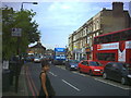
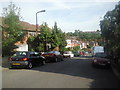
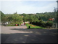
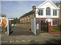
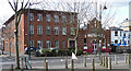
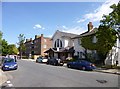
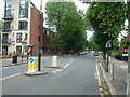
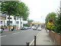
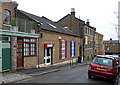
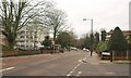
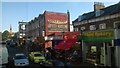

100 photos from this area
Area Information
Key information about the SE27 0NZ including its size, population, and administrative classification.
- Area Type
- Postcode
- Area Size
- 7856 m²
- Population
- 1540
- Population Density
- 10384 people/km²
House Prices in SE27 0NZ
23
Properties
£445,024
Average Sold Price
£92,000
Lowest Price
£840,000
Highest Price
Showing 23 properties
| Address | Type | Beds | Baths | Last Sale Price | Last Sale Date | |
|---|---|---|---|---|---|---|
| 111 Canterbury Grove, London, SE27 0NZ | Semi-detached | 4 | 2 | £660,000 | Oct 2023 | |
| 81 Canterbury Grove, London, SE27 0NZ | house | - | - | £840,000 | Sep 2022 | |
| 109 Canterbury Grove, London, SE27 0NZ | Semi-detached | 3 | 2 | £740,000 | Jun 2022 | |
| 73 Canterbury Grove, London, SE27 0NZ | Semi-detached | 3 | 1 | £700,000 | Sep 2019 | |
| 107 Canterbury Grove, London, SE27 0NZ | house | - | - | £745,000 | Nov 2016 | |
| 117A Canterbury Grove, London, SE27 0NZ | Detached | 4 | 2 | £792,000 | Nov 2015 | |
| 93 Canterbury Grove, London, SE27 0NZ | Semi-detached | 5 | - | £585,000 | Sep 2015 | |
| 89 Canterbury Grove, London, SE27 0NZ | Terraced | - | - | £349,950 | Jul 2007 | |
| 103 Canterbury Grove, London, SE27 0NZ | Semi-detached | - | - | £362,500 | May 2007 | |
| 95 Canterbury Grove, London, SE27 0NZ | house | 5 | 2 | £355,000 | Jan 2007 |
Page 1 of 3
Energy Efficiency in SE27 0NZ
Amenities
Schools
| Rank | School | Type | Entry gender | Ages |
|---|
Explore more schools in this area
Go to Schools tabDemographics
Household Size
Family (3-5 people)
most common
Accommodation Type
Houses
most common
Tenure
63
majority
Ethnic Group
White
most common
Religion
N/A
most common
Household Composition
N/A
most common
Age
47
median
Adults (30-64 years)
most common
Household Deprivation
N/A
with no deprivation
NS-SEC
44
in Lower managerial occupations
Explore more demographic insights in this area
Go to Demographics tabPlanning
Planning Constraints
- Flood RiskPremium
- Ramsar Wetland SitesPremium
- Area of Outstanding Natural BeautyPremium
- Protected Nature ReservePremium
- Protected WoodlandPremium