Area Overview for SE27 0LY
Photos of SE27 0LY
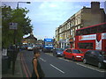
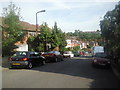
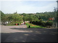
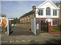
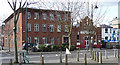
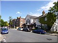
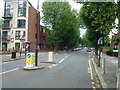
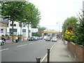
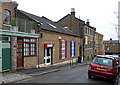
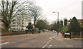
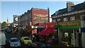

100 photos from this area
Area Information
Key information about the SE27 0LY including its size, population, and administrative classification.
- Area Type
- Postcode
- Area Size
- 6571 m²
- Population
- 1540
- Population Density
- 10384 people/km²
House Prices in SE27 0LY
26
Properties
£360,956
Average Sold Price
£77,000
Lowest Price
£875,000
Highest Price
Showing 26 properties
| Address | Type | Beds | Baths | Last Sale Price | Last Sale Date | |
|---|---|---|---|---|---|---|
| 24 Glennie Road, London, SE27 0LY | Semi-detached | 4 | 2 | £875,000 | Mar 2025 | |
| 10 Glennie Road, London, SE27 0LY | house | - | - | £632,500 | Jun 2021 | |
| 20 Glennie Road, London, SE27 0LY | Terraced | 3 | 1 | £625,000 | Aug 2019 | |
| 42 Glennie Road, London, SE27 0LY | Terraced | 3 | 1 | £697,500 | May 2018 | |
| 48 Glennie Road, London, SE27 0LY | Terraced | 3 | 1 | £780,000 | Mar 2017 | |
| 44 Glennie Road, London, SE27 0LY | Terraced | 4 | 2 | £530,000 | Jan 2014 | |
| 16 Glennie Road, London, SE27 0LY | house | - | - | £350,000 | Jun 2013 | |
| 18 Glennie Road, London, SE27 0LY | Terraced | 4 | 3 | £275,750 | Jul 2009 | |
| 14 Glennie Road, London, SE27 0LY | Terraced | 3 | - | £245,000 | Dec 2004 | |
| 6 Glennie Road, London, SE27 0LY | house | - | - | £230,000 | Sep 2003 |
Page 1 of 3
Energy Efficiency in SE27 0LY
Amenities
Schools
| Rank | School | Type | Entry gender | Ages |
|---|
Explore more schools in this area
Go to Schools tabDemographics
Household Size
Family (3-5 people)
most common
Accommodation Type
Houses
most common
Tenure
63
majority
Ethnic Group
White
most common
Religion
N/A
most common
Household Composition
N/A
most common
Age
47
median
Adults (30-64 years)
most common
Household Deprivation
N/A
with no deprivation
NS-SEC
44
in Lower managerial occupations
Explore more demographic insights in this area
Go to Demographics tabPlanning
Planning Constraints
- Flood RiskPremium
- Ramsar Wetland SitesPremium
- Area of Outstanding Natural BeautyPremium
- Protected Nature ReservePremium
- Protected WoodlandPremium