Area Overview for SE27 0LE
Photos of SE27 0LE
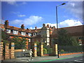
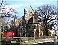
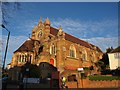
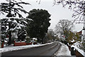
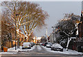
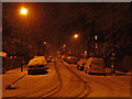
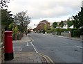
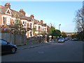
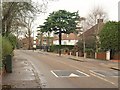
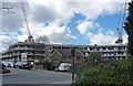
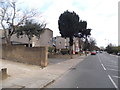
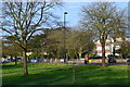
100 photos from this area
Area Information
Key information about the SE27 0LE including its size, population, and administrative classification.
- Area Type
- Postcode
- Area Size
- 1.3 hectares
- Population
- 1793
- Population Density
- 7976 people/km²
House Prices in SE27 0LE
32
Properties
£545,792
Average Sold Price
£100,000
Lowest Price
£940,000
Highest Price
Showing 32 properties
| Address | Type | Beds | Baths | Last Sale Price | Last Sale Date | |
|---|---|---|---|---|---|---|
| 63 Roxburgh Road, London, SE27 0LE | Semi-detached | 3 | 1 | £845,000 | Jan 2025 | |
| 23 Roxburgh Road, London, SE27 0LE | Semi-detached | 5 | 1 | £837,500 | Nov 2024 | |
| 53 Roxburgh Road, London, SE27 0LE | Semi-detached | 4 | 2 | £800,000 | Mar 2024 | |
| 61 Roxburgh Road, London, SE27 0LE | house | - | - | £940,000 | Dec 2020 | |
| 77 Roxburgh Road, London, SE27 0LE | house | - | - | £865,000 | Oct 2020 | |
| 33 Roxburgh Road, London, SE27 0LE | Semi-detached | 4 | 2 | £775,000 | Nov 2019 | |
| 31 Roxburgh Road, London, SE27 0LE | Semi-detached | 3 | 1 | £660,000 | Jul 2019 | |
| 69 Roxburgh Road, London, SE27 0LE | house | - | - | £825,000 | May 2018 | |
| 57 Roxburgh Road, London, SE27 0LE | house | 5 | - | £940,000 | Apr 2017 | |
| 49 Roxburgh Road, London, SE27 0LE | house | 4 | - | £780,000 | Feb 2017 |
Page 1 of 4
Energy Efficiency in SE27 0LE
Amenities
Schools
| Rank | School | Type | Entry gender | Ages |
|---|
Explore more schools in this area
Go to Schools tabDemographics
Household Size
Family (3-5 people)
most common
Accommodation Type
Houses
most common
Tenure
65
majority
Ethnic Group
White
most common
Religion
N/A
most common
Household Composition
N/A
most common
Age
47
median
Adults (30-64 years)
most common
Household Deprivation
N/A
with no deprivation
NS-SEC
46
in Lower managerial occupations
Explore more demographic insights in this area
Go to Demographics tabPlanning
Planning Constraints
- Flood RiskPremium
- Ramsar Wetland SitesPremium
- Area of Outstanding Natural BeautyPremium
- Protected Nature ReservePremium
- Protected WoodlandPremium