Area Overview for SE26 4SE
Photos of SE26 4SE
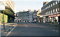
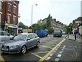
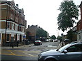
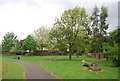
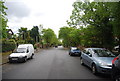
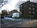
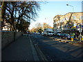


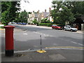
100 photos from this area
Area Information
Key information about the SE26 4SE including its size, population, and administrative classification.
- Area Type
- Postcode
- Area Size
- 6251 m²
- Population
- 1785
- Population Density
- 10506 people/km²
House Prices in SE26 4SE
23
Properties
£310,999
Average Sold Price
£104,995
Lowest Price
£662,000
Highest Price
Showing 23 properties
| Address | Type | Beds | Baths | Last Sale Price | Last Sale Date | |
|---|---|---|---|---|---|---|
| 11 Forrester Path, London, SE26 4SE | Semi-detached | 4 | 1 | £662,000 | Jul 2025 | |
| 4 Forrester Path, London, SE26 4SE | house | - | - | £487,000 | Mar 2024 | |
| 12 Forrester Path, London, SE26 4SE | Terraced | 4 | 2 | £470,000 | Apr 2019 | |
| 15 Forrester Path, London, SE26 4SE | Terraced | 4 | - | £460,000 | Jul 2015 | |
| 22 Forrester Path, London, SE26 4SE | house | 2 | - | £217,000 | Feb 2010 | |
| 14 Forrester Path, London, SE26 4SE | Terraced | 4 | 2 | £144,000 | May 2001 | |
| 13 Forrester Path, London, SE26 4SE | house | - | - | £130,000 | Sep 2000 | |
| 17 Forrester Path, London, SE26 4SE | house | - | - | £124,000 | Aug 2000 | |
| 21 Forrester Path, London, SE26 4SE | house | - | - | £104,995 | Aug 1999 | |
| 18 Forrester Path, London, SE26 4SE | house | - | - | - | - |
Page 1 of 3
Energy Efficiency in SE26 4SE
Amenities
Schools
| Rank | School | Type | Entry gender | Ages |
|---|
Explore more schools in this area
Go to Schools tabDemographics
Household Size
One person
most common
Accommodation Type
Flats
most common
Tenure
31
majority
Ethnic Group
White
most common
Religion
N/A
most common
Household Composition
N/A
most common
Age
47
median
Adults (30-64 years)
most common
Household Deprivation
N/A
with no deprivation
NS-SEC
39
in Lower managerial occupations
Explore more demographic insights in this area
Go to Demographics tabPlanning
Planning Constraints
- Flood RiskPremium
- Ramsar Wetland SitesPremium
- Area of Outstanding Natural BeautyPremium
- Protected Nature ReservePremium
- Protected WoodlandPremium