Area Overview for SE25 6QG
Photos of SE25 6QG
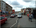
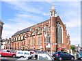
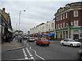
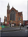
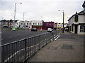
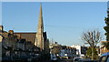
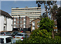
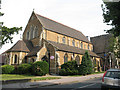
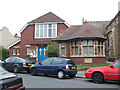
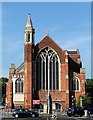
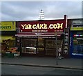
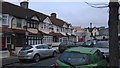
100 photos from this area
Area Information
Key information about the SE25 6QG including its size, population, and administrative classification.
- Area Type
- Postcode
- Area Size
- 5090 m²
- Population
- 1961
- Population Density
- 11129 people/km²
House Prices in SE25 6QG
31
Properties
£254,554
Average Sold Price
£89,000
Lowest Price
£450,000
Highest Price
Showing 31 properties
| Address | Type | Beds | Baths | Last Sale Price | Last Sale Date | |
|---|---|---|---|---|---|---|
| 45 Thirsk Road, South Norwood, London, SE25 6QG | Terraced | 3 | 1 | £421,000 | May 2025 | |
| 57 Thirsk Road, South Norwood, London, SE25 6QG | Terraced | 3 | 1 | £450,000 | Mar 2025 | |
| 16 Thirsk Road, South Norwood, London, SE25 6QG | Terraced | 2 | 1 | £400,000 | Mar 2025 | |
| 53 Thirsk Road, South Norwood, London, SE25 6QG | Terraced | 3 | 1 | £400,000 | May 2024 | |
| 55 Thirsk Road, South Norwood, London, SE25 6QG | Terraced | 3 | 1 | £405,000 | Nov 2021 | |
| 12 Thirsk Road, South Norwood, London, SE25 6QG | Terraced | 2 | 1 | £400,000 | Jun 2021 | |
| 32 Thirsk Road, South Norwood, London, SE25 6QG | Terraced | 2 | 1 | £355,500 | Jun 2019 | |
| 24 Thirsk Road, South Norwood, London, SE25 6QG | Terraced | 3 | - | £330,000 | Mar 2016 | |
| 6 Thirsk Road, South Norwood, London, SE25 6QG | Terraced | 3 | 1 | £290,000 | May 2014 | |
| 47 Thirsk Road, South Norwood, London, SE25 6QG | house | - | - | £189,000 | Jul 2009 |
Page 1 of 4
Energy Efficiency in SE25 6QG
Amenities
Schools
| Rank | School | Type | Entry gender | Ages |
|---|
Explore more schools in this area
Go to Schools tabDemographics
Household Size
Family (3-5 people)
most common
Accommodation Type
Houses
most common
Tenure
47
majority
Ethnic Group
black_total
most common
Religion
N/A
most common
Household Composition
N/A
most common
Age
47
median
Adults (30-64 years)
most common
Household Deprivation
N/A
with no deprivation
NS-SEC
26
in Lower managerial occupations
Explore more demographic insights in this area
Go to Demographics tabPlanning
Planning Constraints
- Flood RiskPremium
- Ramsar Wetland SitesPremium
- Area of Outstanding Natural BeautyPremium
- Protected Nature ReservePremium
- Protected WoodlandPremium