Area Overview for SE25 5LX
Photos of SE25 5LX

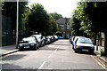
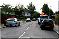
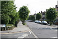
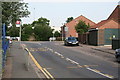
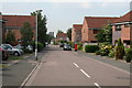
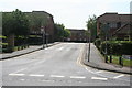
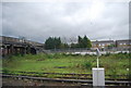
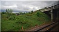
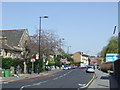
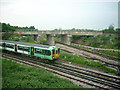
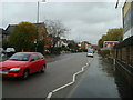
100 photos from this area
Area Information
Key information about the SE25 5LX including its size, population, and administrative classification.
- Area Type
- Postcode
- Area Size
- 9277 m²
- Population
- 1959
- Population Density
- 10420 people/km²
House Prices in SE25 5LX
51
Properties
£171,886
Average Sold Price
£67,000
Lowest Price
£400,000
Highest Price
Showing 51 properties
| Address | Type | Beds | Baths | Last Sale Price | Last Sale Date | |
|---|---|---|---|---|---|---|
| 58 Carmichael Road, South Norwood, London, SE25 5LX | Terraced | 2 | 1 | £354,000 | Aug 2025 | |
| 64 Carmichael Road, South Norwood, London, SE25 5LX | house | 3 | 1 | £400,000 | Apr 2022 | |
| 76C Carmichael Road, South Norwood, London, SE25 5LX | Flat | - | - | £141,750 | Jul 2021 | |
| 72D Carmichael Road, South Norwood, London, SE25 5LX | Flat | - | - | £103,500 | Apr 2021 | |
| 60 Carmichael Road, South Norwood, London, SE25 5LX | Terraced | - | - | £173,500 | Jan 2006 | |
| 52 Carmichael Road, South Norwood, London, SE25 5LX | Terraced | 2 | - | £170,000 | Jul 2005 | |
| 56 Carmichael Road, South Norwood, London, SE25 5LX | Terraced | - | - | £171,000 | Nov 2003 | |
| 62 Carmichael Road, South Norwood, London, SE25 5LX | Terraced | - | - | £173,000 | Jul 2003 | |
| 50 Carmichael Road, South Norwood, London, SE25 5LX | house | - | - | £69,000 | Mar 1999 | |
| 70 Carmichael Road, South Norwood, London, SE25 5LX | house | - | - | £67,000 | Dec 1998 |
Page 1 of 6
Energy Efficiency in SE25 5LX
Amenities
Schools
| Rank | School | Type | Entry gender | Ages |
|---|
Explore more schools in this area
Go to Schools tabDemographics
Household Size
Family (3-5 people)
most common
Accommodation Type
Houses
most common
Tenure
51
majority
Ethnic Group
White
most common
Religion
N/A
most common
Household Composition
N/A
most common
Age
47
median
Adults (30-64 years)
most common
Household Deprivation
N/A
with no deprivation
NS-SEC
32
in Lower managerial occupations
Explore more demographic insights in this area
Go to Demographics tabPlanning
Planning Constraints
- Flood RiskPremium
- Ramsar Wetland SitesPremium
- Area of Outstanding Natural BeautyPremium
- Protected Nature ReservePremium
- Protected WoodlandPremium