Area Overview for SE23 2HB
Photos of SE23 2HB
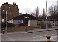
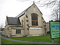
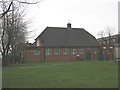
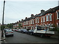
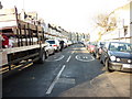
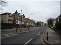
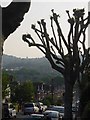
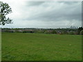
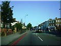
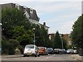
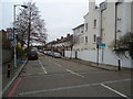

81 photos from this area
Area Information
Key information about the SE23 2HB including its size, population, and administrative classification.
- Area Type
- Postcode
- Area Size
- 1.2 hectares
- Population
- 1477
- Population Density
- 10214 people/km²
House Prices in SE23 2HB
43
Properties
£510,145
Average Sold Price
£140,000
Lowest Price
£940,000
Highest Price
Showing 43 properties
| Address | Type | Beds | Baths | Last Sale Price | Last Sale Date | |
|---|---|---|---|---|---|---|
| 8 Cranston Road, London, SE23 2HB | house | - | - | £675,000 | Jun 2025 | |
| 26 Cranston Road, London, SE23 2HB | Terraced | 3 | - | £940,000 | Dec 2024 | |
| 22A Cranston Road, London, SE23 2HB | Flat | 1 | 1 | £450,000 | Dec 2022 | |
| 52 Cranston Road, London, SE23 2HB | Retail | 3 | 1 | £690,000 | Nov 2022 | |
| St Kevernes House, Cranston Road, London, SE23 2HB | Detached | 2 | 1 | £617,234 | Nov 2021 | |
| 10 Cranston Road, London, SE23 2HB | Terraced | 5 | 3 | £785,000 | Sep 2019 | |
| 28 Cranston Road, London, SE23 2HB | Terraced | 3 | 1 | £555,000 | Jun 2019 | |
| 34 Cranston Road, London, SE23 2HB | Terraced | 3 | 1 | £590,000 | Apr 2019 | |
| 2A Cranston Road, London, SE23 2HB | Maisonette | 2 | 1 | £460,000 | Nov 2018 | |
| 54 Cranston Road, London, SE23 2HB | house | - | - | £825,000 | Apr 2016 |
Page 1 of 5
Energy Efficiency in SE23 2HB
Amenities
Schools
| Rank | School | Type | Entry gender | Ages |
|---|
Explore more schools in this area
Go to Schools tabDemographics
Household Size
Family (3-5 people)
most common
Accommodation Type
Houses
most common
Tenure
65
majority
Ethnic Group
White
most common
Religion
N/A
most common
Household Composition
N/A
most common
Age
47
median
Adults (30-64 years)
most common
Household Deprivation
N/A
with no deprivation
NS-SEC
54
in Lower managerial occupations
Explore more demographic insights in this area
Go to Demographics tabPlanning
Planning Constraints
- Flood RiskPremium
- Ramsar Wetland SitesPremium
- Area of Outstanding Natural BeautyPremium
- Protected Nature ReservePremium
- Protected WoodlandPremium