Area Overview for SE23 1LN
Photos of SE23 1LN
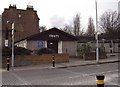
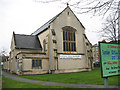
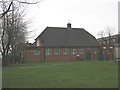
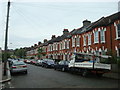
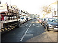
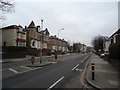
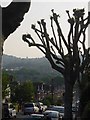
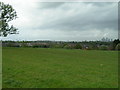
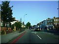
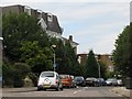
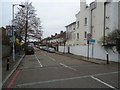

81 photos from this area
Area Information
Key information about the SE23 1LN including its size, population, and administrative classification.
- Area Type
- Postcode
- Area Size
- 5650 m²
- Population
- 1838
- Population Density
- 10155 people/km²
House Prices in SE23 1LN
48
Properties
£193,667
Average Sold Price
£65,000
Lowest Price
£275,000
Highest Price
Showing 48 properties
| Address | Type | Beds | Baths | Last Sale Price | Last Sale Date | |
|---|---|---|---|---|---|---|
| 76A Brockley Rise, London, SE23 1LN | Flat | - | - | £225,000 | Sep 2014 | |
| 100A Brockley Rise, London, SE23 1LN | Flat | - | - | £275,000 | Apr 2003 | |
| 102A Brockley Rise, London, SE23 1LN | Maisonette | - | - | £215,000 | Mar 2003 | |
| 90A Brockley Rise, London, SE23 1LN | Flat | - | - | £65,000 | Jun 2002 | |
| 86A Brockley Rise, London, SE23 1LN | Flat | - | - | £122,000 | Aug 2000 | |
| Flat Above, 60 Brockley Rise, London, SE23 1LN | Flat | 1 | 1 | £259,999 | Mar 2000 | |
| Flat A, 68 Brockley Rise, London, SE23 1LN | Flat | 2 | 3 | - | - | |
| Flat A, 80 Brockley Rise, London, SE23 1LN | Terraced | 2 | 2 | - | - | |
| Flat Above, 64 Brockley Rise, London, SE23 1LN | Semi-detached | - | - | - | - | |
| 102 Brockley Rise, Crofton Park, London, SE23 1LN | Terraced | - | - | - | - |
Page 1 of 5
Energy Efficiency in SE23 1LN
Amenities
Schools
| Rank | School | Type | Entry gender | Ages |
|---|
Explore more schools in this area
Go to Schools tabDemographics
Household Size
Family (3-5 people)
most common
Accommodation Type
Houses
most common
Tenure
61
majority
Ethnic Group
White
most common
Religion
N/A
most common
Household Composition
N/A
most common
Age
47
median
Adults (30-64 years)
most common
Household Deprivation
N/A
with no deprivation
NS-SEC
51
in Lower managerial occupations
Explore more demographic insights in this area
Go to Demographics tabPlanning
Planning Constraints
- Flood RiskPremium
- Ramsar Wetland SitesPremium
- Area of Outstanding Natural BeautyPremium
- Protected Nature ReservePremium
- Protected WoodlandPremium