Area Overview for SE22 9PG
Photos of SE22 9PG
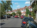
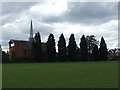
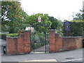
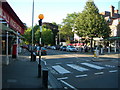
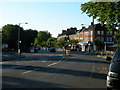
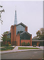
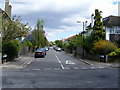
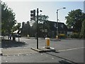
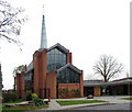
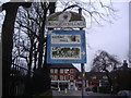
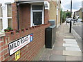
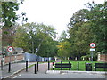
100 photos from this area
Area Information
Key information about the SE22 9PG including its size, population, and administrative classification.
- Area Type
- Postcode
- Area Size
- 5891 m²
- Population
- 1936
- Population Density
- 12168 people/km²
House Prices in SE22 9PG
45
Properties
£573,393
Average Sold Price
£225,000
Lowest Price
£907,500
Highest Price
Showing 45 properties
| Address | Type | Beds | Baths | Last Sale Price | Last Sale Date | |
|---|---|---|---|---|---|---|
| 9 Landells Road, London, SE22 9PG | Terraced | 5 | 2 | £855,000 | May 2025 | |
| 13 Landells Road, London, SE22 9PG | Retail | 4 | 2 | £907,500 | Jan 2022 | |
| 11 Landells Road, London, SE22 9PG | Terraced | 2 | - | £865,000 | Aug 2021 | |
| 17 Landells Road, London, SE22 9PG | Terraced | 4 | 2 | £735,000 | Jun 2021 | |
| 6 Landells Road, London, SE22 9PG | Terraced | 2 | 1 | £806,575 | Jun 2021 | |
| 5 Landells Road, London, SE22 9PG | Terraced | 4 | - | £900,000 | Jan 2021 | |
| 31 Landells Road, London, SE22 9PG | Terraced | 4 | 1 | £750,000 | Dec 2019 | |
| 30 Landells Road, London, SE22 9PG | house | - | - | £707,000 | Dec 2015 | |
| 25 Landells Road, London, SE22 9PG | Terraced | 2 | - | £665,000 | Aug 2015 | |
| 21 Landells Road, London, SE22 9PG | Terraced | 2 | - | £621,000 | Dec 2013 |
Page 1 of 5
Energy Efficiency in SE22 9PG
Amenities
Schools
| Rank | School | Type | Entry gender | Ages |
|---|
Explore more schools in this area
Go to Schools tabDemographics
Household Size
Two person
most common
Accommodation Type
Flats
most common
Tenure
53
majority
Ethnic Group
White
most common
Religion
N/A
most common
Household Composition
N/A
most common
Age
47
median
Adults (30-64 years)
most common
Household Deprivation
N/A
with no deprivation
NS-SEC
45
in Lower managerial occupations
Explore more demographic insights in this area
Go to Demographics tabPlanning
Planning Constraints
- Flood RiskPremium
- Ramsar Wetland SitesPremium
- Area of Outstanding Natural BeautyPremium
- Protected Nature ReservePremium
- Protected WoodlandPremium