Area Overview for SE22 8HT
Photos of SE22 8HT
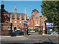
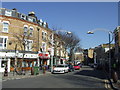
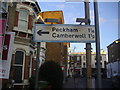
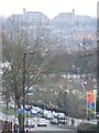
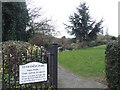
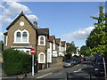
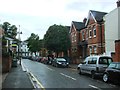
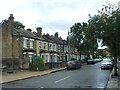
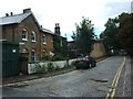
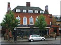
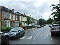
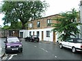
95 photos from this area
Area Information
Key information about the SE22 8HT including its size, population, and administrative classification.
- Area Type
- Postcode
- Area Size
- 6377 m²
- Population
- 2016
- Population Density
- 9946 people/km²
House Prices in SE22 8HT
34
Properties
£604,535
Average Sold Price
£54,500
Lowest Price
£1,150,000
Highest Price
Showing 34 properties
| Address | Type | Beds | Baths | Last Sale Price | Last Sale Date | |
|---|---|---|---|---|---|---|
| 25 Tintagel Crescent, London, SE22 8HT | Terraced | 2 | - | £775,000 | Oct 2025 | |
| 21 Tintagel Crescent, London, SE22 8HT | Flat | - | - | £720,000 | Jun 2025 | |
| 29 Tintagel Crescent, London, SE22 8HT | Detached | 2 | 1 | £572,500 | Mar 2025 | |
| 7A Tintagel Crescent, London, SE22 8HT | Terraced | 3 | 2 | £1,005,000 | Dec 2024 | |
| 7 Tintagel Crescent, London, SE22 8HT | Terraced | 2 | - | £1,050,000 | Jun 2023 | |
| 27 Tintagel Crescent, London, SE22 8HT | Terraced | 3 | 1 | £1,150,000 | Oct 2022 | |
| 1 Tintagel Crescent, London, SE22 8HT | Terraced | 3 | 2 | £1,072,500 | Jul 2022 | |
| 4 Tintagel Crescent, London, SE22 8HT | Semi-detached | 5 | 3 | £1,140,000 | Jun 2022 | |
| 3 Tintagel Crescent, London, SE22 8HT | house | - | - | £970,000 | Aug 2021 | |
| 23 Tintagel Crescent, London, SE22 8HT | house | 3 | - | £950,000 | Jan 2020 |
Page 1 of 4
Energy Efficiency in SE22 8HT
Amenities
Schools
| Rank | School | Type | Entry gender | Ages |
|---|
Explore more schools in this area
Go to Schools tabDemographics
Household Size
One person
most common
Accommodation Type
Flats
most common
Tenure
46
majority
Ethnic Group
White
most common
Religion
N/A
most common
Household Composition
N/A
most common
Age
47
median
Adults (30-64 years)
most common
Household Deprivation
N/A
with no deprivation
NS-SEC
63
in Lower managerial occupations
Explore more demographic insights in this area
Go to Demographics tabPlanning
Planning Constraints
- Flood RiskPremium
- Ramsar Wetland SitesPremium
- Area of Outstanding Natural BeautyPremium
- Protected Nature ReservePremium
- Protected WoodlandPremium