Area Overview for SE22 8DZ
Photos of SE22 8DZ
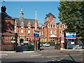
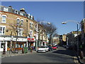
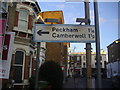
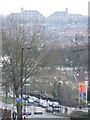
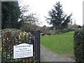
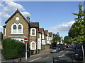
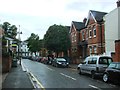
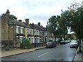
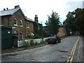
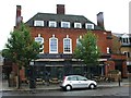
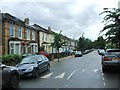
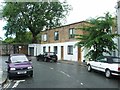
95 photos from this area
Area Information
Key information about the SE22 8DZ including its size, population, and administrative classification.
- Area Type
- Postcode
- Area Size
- 5925 m²
- Population
- 2016
- Population Density
- 9946 people/km²
House Prices in SE22 8DZ
42
Properties
£868,273
Average Sold Price
£102,000
Lowest Price
£1,725,000
Highest Price
Showing 42 properties
| Address | Type | Beds | Baths | Last Sale Price | Last Sale Date | |
|---|---|---|---|---|---|---|
| 1A Derwent Grove, London, SE22 8DZ | Flat | 2 | 1 | £545,000 | Oct 2024 | |
| 15 Derwent Grove, London, SE22 8DZ | house | 5 | 3 | £1,725,000 | Jul 2024 | |
| Upper Flat, 37 Derwent Grove, London, SE22 8DZ | Flat | - | - | £1,012,500 | Dec 2023 | |
| 45B Derwent Grove, London, SE22 8DZ | Maisonette | - | - | £712,000 | Jun 2021 | |
| 5 Derwent Grove, London, SE22 8DZ | Semi-detached | 5 | 2 | £1,250,000 | Nov 2020 | |
| 45A Derwent Grove, London, SE22 8DZ | Flat | - | - | £500,000 | Aug 2017 | |
| 7 Derwent Grove, London, SE22 8DZ | Semi-detached | 4 | 2 | £1,127,000 | Jan 2016 | |
| 33 Derwent Grove, London, SE22 8DZ | Semi-detached | 4 | 2 | £1,262,500 | Jul 2014 | |
| 31 Derwent Grove, London, SE22 8DZ | house | 5 | - | £795,000 | Sep 2012 | |
| 35 Derwent Grove, London, SE22 8DZ | house | - | - | £520,000 | Sep 2006 |
Page 1 of 5
Energy Efficiency in SE22 8DZ
Amenities
Schools
| Rank | School | Type | Entry gender | Ages |
|---|
Explore more schools in this area
Go to Schools tabDemographics
Household Size
One person
most common
Accommodation Type
Flats
most common
Tenure
46
majority
Ethnic Group
White
most common
Religion
N/A
most common
Household Composition
N/A
most common
Age
47
median
Adults (30-64 years)
most common
Household Deprivation
N/A
with no deprivation
NS-SEC
63
in Lower managerial occupations
Explore more demographic insights in this area
Go to Demographics tabPlanning
Planning Constraints
- Flood RiskPremium
- Ramsar Wetland SitesPremium
- Area of Outstanding Natural BeautyPremium
- Protected Nature ReservePremium
- Protected WoodlandPremium