Area Overview for SE22 8DQ
Photos of SE22 8DQ
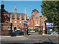
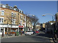
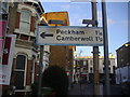
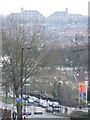
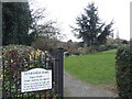
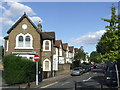
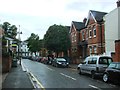
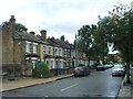
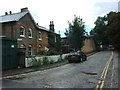
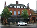
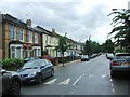
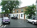
95 photos from this area
Area Information
Key information about the SE22 8DQ including its size, population, and administrative classification.
- Area Type
- Postcode
- Area Size
- 2148 m²
- Population
- 1627
- Population Density
- 4025 people/km²
House Prices in SE22 8DQ
13
Properties
£304,388
Average Sold Price
£78,270
Lowest Price
£655,000
Highest Price
Showing 13 properties
| Address | Type | Beds | Baths | Last Sale Price | Last Sale Date | |
|---|---|---|---|---|---|---|
| 1 Buxted Road, London, SE22 8DQ | Terraced | 3 | 1 | £655,000 | Jul 2022 | |
| 5 Buxted Road, London, SE22 8DQ | house | 2 | - | £632,000 | Jun 2021 | |
| 11 Buxted Road, London, SE22 8DQ | Terraced | - | - | £572,500 | Sep 2019 | |
| 10 Buxted Road, London, SE22 8DQ | Terraced | 2 | 1 | £269,500 | Nov 2009 | |
| 3 Buxted Road, London, SE22 8DQ | house | - | - | £364,000 | Feb 2008 | |
| 9 Buxted Road, London, SE22 8DQ | Terraced | - | - | £336,000 | Oct 2007 | |
| 6 Buxted Road, London, SE22 8DQ | Detached | 2 | 1 | £243,000 | Aug 2005 | |
| 7 Buxted Road, London, SE22 8DQ | Terraced | - | - | £212,500 | Nov 2004 | |
| 12 Buxted Road, London, SE22 8DQ | house | 2 | - | £220,000 | Oct 2004 | |
| 4 Buxted Road, London, SE22 8DQ | Terraced | - | - | £170,000 | May 2000 |
Page 1 of 2
Energy Efficiency in SE22 8DQ
Amenities
Schools
| Rank | School | Type | Entry gender | Ages |
|---|
Explore more schools in this area
Go to Schools tabDemographics
Household Size
Family (3-5 people)
most common
Accommodation Type
Houses
most common
Tenure
42
majority
Ethnic Group
White
most common
Religion
N/A
most common
Household Composition
N/A
most common
Age
47
median
Adults (30-64 years)
most common
Household Deprivation
N/A
with no deprivation
NS-SEC
54
in Lower managerial occupations
Explore more demographic insights in this area
Go to Demographics tabPlanning
Planning Constraints
- Flood RiskPremium
- Ramsar Wetland SitesPremium
- Area of Outstanding Natural BeautyPremium
- Protected Nature ReservePremium
- Protected WoodlandPremium