Area Overview for SE22 0RS
Photos of SE22 0RS
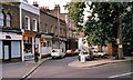
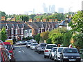
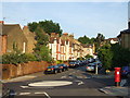
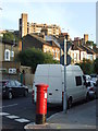
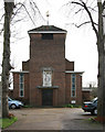
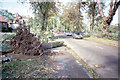
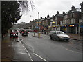
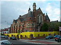

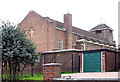
85 photos from this area
Area Information
Key information about the SE22 0RS including its size, population, and administrative classification.
- Area Type
- Postcode
- Area Size
- 1.4 hectares
- Population
- 1899
- Population Density
- 7036 people/km²
House Prices in SE22 0RS
54
Properties
£393,489
Average Sold Price
£44,000
Lowest Price
£870,000
Highest Price
Showing 54 properties
| Address | Type | Beds | Baths | Last Sale Price | Last Sale Date | |
|---|---|---|---|---|---|---|
| 62 Forest Hill Road, London, SE22 0RS | Terraced | 5 | 1 | £820,000 | Aug 2025 | |
| 120A Forest Hill Road, London, SE22 0RS | Maisonette | - | - | £325,000 | Jan 2025 | |
| 114A Forest Hill Road, London, SE22 0RS | Flat | - | - | £490,000 | Mar 2023 | |
| 58 Forest Hill Road, London, SE22 0RS | Flat | 2 | 1 | £630,000 | Oct 2022 | |
| 76 Forest Hill Road, London, SE22 0RS | Terraced | 4 | 3 | £870,000 | Nov 2019 | |
| 58A Forest Hill Road, London, SE22 0RS | Maisonette | - | - | £501,800 | Sep 2017 | |
| 80 Forest Hill Road, London, SE22 0RS | Terraced | 4 | - | £750,000 | Jul 2014 | |
| 86 Forest Hill Road, London, SE22 0RS | house | 4 | - | £640,000 | Jan 2012 | |
| 92A Forest Hill Road, London, SE22 0RS | Terraced | 2 | - | £245,000 | Dec 2007 | |
| 64 Forest Hill Road, London, SE22 0RS | Terraced | - | - | £200,000 | Feb 2006 |
Page 1 of 6
Energy Efficiency in SE22 0RS
Amenities
Schools
| Rank | School | Type | Entry gender | Ages |
|---|
Explore more schools in this area
Go to Schools tabDemographics
Household Size
Family (3-5 people)
most common
Accommodation Type
Houses
most common
Tenure
65
majority
Ethnic Group
White
most common
Religion
N/A
most common
Household Composition
N/A
most common
Age
47
median
Adults (30-64 years)
most common
Household Deprivation
N/A
with no deprivation
NS-SEC
63
in Lower managerial occupations
Explore more demographic insights in this area
Go to Demographics tabPlanning
Planning Constraints
- Flood RiskPremium
- Ramsar Wetland SitesPremium
- Area of Outstanding Natural BeautyPremium
- Protected Nature ReservePremium
- Protected WoodlandPremium