Area Overview for SE22 0DL
Photos of SE22 0DL
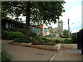
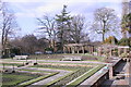
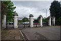
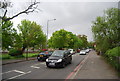
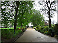
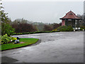
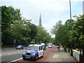
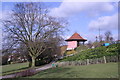
100 photos from this area
Area Information
Key information about the SE22 0DL including its size, population, and administrative classification.
- Area Type
- Postcode
- Area Size
- 7048 m²
- Population
- 1936
- Population Density
- 12168 people/km²
House Prices in SE22 0DL
46
Properties
£590,594
Average Sold Price
£110,000
Lowest Price
£1,200,000
Highest Price
Showing 46 properties
| Address | Type | Beds | Baths | Last Sale Price | Last Sale Date | |
|---|---|---|---|---|---|---|
| 343 Upland Road, London, SE22 0DL | Terraced | 3 | 1 | £850,000 | Jan 2024 | |
| 345 Upland Road, London, SE22 0DL | Terraced | 4 | 2 | £900,000 | Jan 2024 | |
| 305 Upland Road, London, SE22 0DL | Retail | 4 | 1 | £1,200,000 | Oct 2022 | |
| 355 Upland Road, London, SE22 0DL | Retail | 3 | 1 | £447,000 | Aug 2022 | |
| 319 Upland Road, London, SE22 0DL | Flat | - | - | £680,000 | Jul 2022 | |
| 339 Upland Road, London, SE22 0DL | Terraced | 3 | 1 | £750,000 | Aug 2018 | |
| 341 Upland Road, London, SE22 0DL | Terraced | 5 | 2 | £920,000 | Oct 2017 | |
| 323 Upland Road, London, SE22 0DL | Flat | 2 | 1 | £500,000 | Jul 2015 | |
| 317B Upland Road, London, SE22 0DL | Flat | 2 | 1 | £520,000 | Jun 2014 | |
| 301 Upland Road, London, SE22 0DL | Terraced | 4 | 1 | £700,000 | Apr 2010 |
Page 1 of 5
Energy Efficiency in SE22 0DL
Amenities
Schools
| Rank | School | Type | Entry gender | Ages |
|---|
Explore more schools in this area
Go to Schools tabDemographics
Household Size
Two person
most common
Accommodation Type
Flats
most common
Tenure
53
majority
Ethnic Group
White
most common
Religion
N/A
most common
Household Composition
N/A
most common
Age
47
median
Adults (30-64 years)
most common
Household Deprivation
N/A
with no deprivation
NS-SEC
45
in Lower managerial occupations
Explore more demographic insights in this area
Go to Demographics tabPlanning
Planning Constraints
- Flood RiskPremium
- Ramsar Wetland SitesPremium
- Area of Outstanding Natural BeautyPremium
- Protected Nature ReservePremium
- Protected WoodlandPremium