Area Overview for SE22 0AR
Photos of SE22 0AR
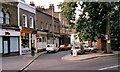
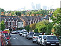
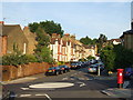
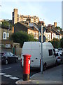
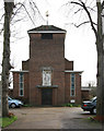
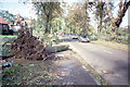
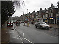
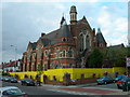

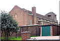
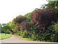
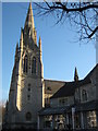
85 photos from this area
Area Information
Key information about the SE22 0AR including its size, population, and administrative classification.
- Area Type
- Postcode
- Area Size
- 5854 m²
- Population
- 1891
- Population Density
- 13565 people/km²
House Prices in SE22 0AR
42
Properties
£670,524
Average Sold Price
£35,000
Lowest Price
£1,430,000
Highest Price
Showing 42 properties
| Address | Type | Beds | Baths | Last Sale Price | Last Sale Date | |
|---|---|---|---|---|---|---|
| 54 Henslowe Road, London, SE22 0AR | Flat | - | - | £405,000 | Oct 2025 | |
| 49 Henslowe Road, London, SE22 0AR | Terraced | 4 | 2 | £1,430,000 | May 2025 | |
| 52 Henslowe Road, London, SE22 0AR | Terraced | 4 | 2 | £940,000 | Sep 2023 | |
| 34 Henslowe Road, London, SE22 0AR | Terraced | 4 | 2 | £1,200,000 | Sep 2023 | |
| 47 Henslowe Road, London, SE22 0AR | Terraced | 3 | 2 | £1,160,000 | Oct 2022 | |
| 46 Henslowe Road, London, SE22 0AR | Retail | 3 | 1 | £865,000 | Feb 2022 | |
| 55 Henslowe Road, London, SE22 0AR | Detached | 5 | 2 | £1,000,000 | Apr 2021 | |
| 42 Henslowe Road, London, SE22 0AR | house | - | - | £820,000 | Feb 2021 | |
| 33A Henslowe Road, London, SE22 0AR | Flat | 2 | 1 | £640,000 | May 2020 | |
| 62 Henslowe Road, London, SE22 0AR | Terraced | 3 | - | £1,025,000 | Apr 2020 |
Page 1 of 5
Energy Efficiency in SE22 0AR
Amenities
Schools
| Rank | School | Type | Entry gender | Ages |
|---|
Explore more schools in this area
Go to Schools tabDemographics
Household Size
Family (3-5 people)
most common
Accommodation Type
Houses
most common
Tenure
53
majority
Ethnic Group
White
most common
Religion
N/A
most common
Household Composition
N/A
most common
Age
47
median
Adults (30-64 years)
most common
Household Deprivation
N/A
with no deprivation
NS-SEC
58
in Lower managerial occupations
Explore more demographic insights in this area
Go to Demographics tabPlanning
Planning Constraints
- Flood RiskPremium
- Ramsar Wetland SitesPremium
- Area of Outstanding Natural BeautyPremium
- Protected Nature ReservePremium
- Protected WoodlandPremium