Area Overview for SE21 8BB
Photos of SE21 8BB
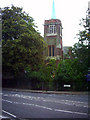
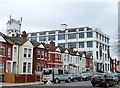
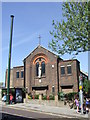
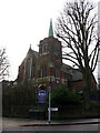
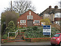
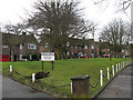
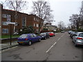
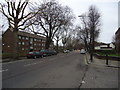
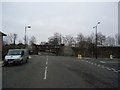
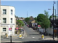
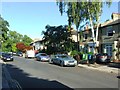
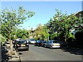
100 photos from this area
Area Information
Key information about the SE21 8BB including its size, population, and administrative classification.
- Area Type
- Postcode
- Area Size
- 8700 m²
- Population
- 1488
- Population Density
- 1405 people/km²
House Prices in SE21 8BB
24
Properties
£639,329
Average Sold Price
£150,500
Lowest Price
£1,290,000
Highest Price
Showing 24 properties
| Address | Type | Beds | Baths | Last Sale Price | Last Sale Date | |
|---|---|---|---|---|---|---|
| 12 South Croxted Road, London, SE21 8BB | house | 5 | 1 | £1,050,000 | Jan 2025 | |
| 26 South Croxted Road, London, SE21 8BB | Semi-detached | 4 | 2 | £1,085,000 | Apr 2018 | |
| 30 South Croxted Road, London, SE21 8BB | house | - | - | £1,290,000 | Jul 2015 | |
| 4 South Croxted Road, London, SE21 8BB | house | - | - | £690,000 | Aug 2012 | |
| 22 South Croxted Road, London, SE21 8BB | house | 5 | - | £965,000 | Jul 2012 | |
| 32 South Croxted Road, London, SE21 8BB | house | - | - | £880,000 | Feb 2012 | |
| 20 South Croxted Road, London, SE21 8BB | Semi-detached | - | - | £250,000 | Aug 2005 | |
| 10 South Croxted Road, London, SE21 8BB | Semi-detached | 4 | 2 | £468,000 | May 2004 | |
| 28 South Croxted Road, London, SE21 8BB | Semi-detached | - | - | £360,000 | Nov 2001 | |
| 18 South Croxted Road, London, SE21 8BB | Semi-detached | - | - | £248,450 | Jul 1997 |
Page 1 of 3
Energy Efficiency in SE21 8BB
Amenities
Schools
| Rank | School | Type | Entry gender | Ages |
|---|
Explore more schools in this area
Go to Schools tabDemographics
Household Size
Family (3-5 people)
most common
Accommodation Type
Houses
most common
Tenure
65
majority
Ethnic Group
White
most common
Religion
N/A
most common
Household Composition
N/A
most common
Age
47
median
Adults (30-64 years)
most common
Household Deprivation
N/A
with no deprivation
NS-SEC
51
in Lower managerial occupations
Explore more demographic insights in this area
Go to Demographics tabPlanning
Planning Constraints
- Flood RiskPremium
- Ramsar Wetland SitesPremium
- Area of Outstanding Natural BeautyPremium
- Protected Nature ReservePremium
- Protected WoodlandPremium