Area Overview for SE20 8SY
Photos of SE20 8SY

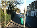
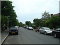
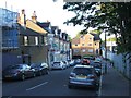
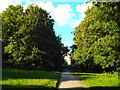
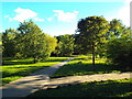
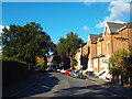
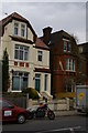
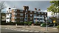
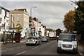
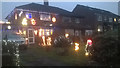
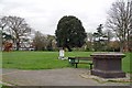
77 photos from this area
Area Information
Key information about the SE20 8SY including its size, population, and administrative classification.
- Area Type
- Postcode
- Area Size
- 6282 m²
- Population
- 1559
- Population Density
- 7272 people/km²
House Prices in SE20 8SY
59
Properties
£239,518
Average Sold Price
£114,000
Lowest Price
£400,000
Highest Price
Showing 59 properties
| Address | Type | Beds | Baths | Last Sale Price | Last Sale Date | |
|---|---|---|---|---|---|---|
| 52 Tovil Close, Penge, London, SE20 8SY | Maisonette | - | - | £290,000 | Jun 2023 | |
| 1 Tovil Close, Penge, London, SE20 8SY | Terraced | 3 | 1 | £400,000 | Jun 2023 | |
| 14 Tovil Close, Penge, London, SE20 8SY | Flat | - | - | £268,000 | Jan 2023 | |
| 48 Tovil Close, Penge, London, SE20 8SY | Maisonette | 3 | 1 | £280,750 | Feb 2022 | |
| 5 Tovil Close, Penge, London, SE20 8SY | house | 3 | 1 | £335,000 | Jan 2021 | |
| 26 Tovil Close, Penge, London, SE20 8SY | Flat | - | - | £235,000 | Sep 2020 | |
| 4 Tovil Close, Penge, London, SE20 8SY | Terraced | 4 | 1 | £255,000 | Apr 2011 | |
| 44 Tovil Close, Penge, London, SE20 8SY | Maisonette | - | - | £190,000 | Jul 2008 | |
| 45 Tovil Close, Penge, London, SE20 8SY | Maisonette | 3 | 1 | £149,950 | Oct 2006 | |
| 36 Tovil Close, Penge, London, SE20 8SY | Flat | - | - | £117,000 | Aug 2006 |
Page 1 of 6
Energy Efficiency in SE20 8SY
Amenities
Schools
| Rank | School | Type | Entry gender | Ages |
|---|
Explore more schools in this area
Go to Schools tabDemographics
Household Size
One person
most common
Accommodation Type
Flats
most common
Tenure
29
majority
Ethnic Group
White
most common
Religion
N/A
most common
Household Composition
N/A
most common
Age
47
median
Adults (30-64 years)
most common
Household Deprivation
N/A
with no deprivation
NS-SEC
27
in Lower managerial occupations
Explore more demographic insights in this area
Go to Demographics tabPlanning
Planning Constraints
- Flood RiskPremium
- Ramsar Wetland SitesPremium
- Area of Outstanding Natural BeautyPremium
- Protected Nature ReservePremium
- Protected WoodlandPremium