Area Overview for SE20 7YL
Photos of SE20 7YL
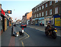
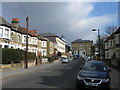
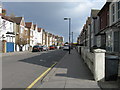
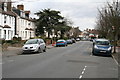
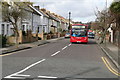
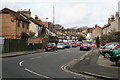
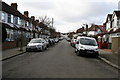
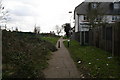
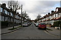
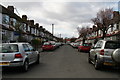
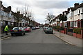
100 photos from this area
Area Information
Key information about the SE20 7YL including its size, population, and administrative classification.
- Area Type
- Postcode
- Area Size
- 4.0 hectares
- Population
- 1470
- Population Density
- 4515 people/km²
House Prices in SE20 7YL
43
Properties
£303,447
Average Sold Price
£89,000
Lowest Price
£660,000
Highest Price
Showing 43 properties
| Address | Type | Beds | Baths | Last Sale Price | Last Sale Date | |
|---|---|---|---|---|---|---|
| 64 Warwick Road, Penge, London, SE20 7YL | Detached | 4 | 2 | £660,000 | Oct 2024 | |
| 32A Warwick Road, Penge, London, SE20 7YL | Flat | 1 | 1 | £237,000 | Apr 2022 | |
| 58 Warwick Road, Penge, London, SE20 7YL | Terraced | 3 | - | £495,000 | Apr 2022 | |
| 60 Warwick Road, Penge, London, SE20 7YL | Terraced | 3 | - | £537,000 | Feb 2022 | |
| 10 Warwick Road, Penge, London, SE20 7YL | Flat | - | - | £475,000 | Jun 2021 | |
| 28 Warwick Road, Penge, London, SE20 7YL | Semi-detached | 4 | - | £580,850 | Jun 2021 | |
| 38 Warwick Road, Penge, London, SE20 7YL | house | - | - | £415,000 | Oct 2018 | |
| 22 Warwick Road, Penge, London, SE20 7YL | Semi-detached | 3 | 1 | £570,000 | Nov 2016 | |
| 68 Warwick Road, Penge, London, SE20 7YL | Terraced | 3 | - | £440,000 | May 2016 | |
| 20 Warwick Road, Penge, London, SE20 7YL | Semi-detached | 4 | 2 | £595,000 | Jul 2015 |
Page 1 of 5
Energy Efficiency in SE20 7YL
Amenities
Schools
| Rank | School | Type | Entry gender | Ages |
|---|
Explore more schools in this area
Go to Schools tabDemographics
Household Size
Family (3-5 people)
most common
Accommodation Type
Houses
most common
Tenure
77
majority
Ethnic Group
White
most common
Religion
N/A
most common
Household Composition
N/A
most common
Age
47
median
Adults (30-64 years)
most common
Household Deprivation
N/A
with no deprivation
NS-SEC
45
in Lower managerial occupations
Explore more demographic insights in this area
Go to Demographics tabPlanning
Planning Constraints
- Flood RiskPremium
- Ramsar Wetland SitesPremium
- Area of Outstanding Natural BeautyPremium
- Protected Nature ReservePremium
- Protected WoodlandPremium