Area Overview for SE20 7QN
Photos of SE20 7QN
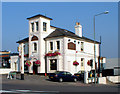
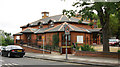
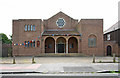
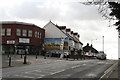
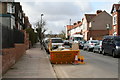
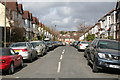
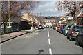
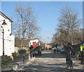
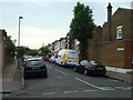
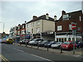
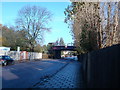
100 photos from this area
Area Information
Key information about the SE20 7QN including its size, population, and administrative classification.
- Area Type
- Postcode
- Area Size
- 5704 m²
- Population
- 1803
- Population Density
- 8343 people/km²
House Prices in SE20 7QN
42
Properties
£384,909
Average Sold Price
£110,000
Lowest Price
£702,500
Highest Price
Showing 42 properties
| Address | Type | Beds | Baths | Last Sale Price | Last Sale Date | |
|---|---|---|---|---|---|---|
| 2 Royston Road, Penge, London, SE20 7QN | Terraced | 3 | 1 | £335,000 | Mar 2025 | |
| 26 Royston Road, Penge, London, SE20 7QN | Terraced | 4 | 1 | £615,000 | Sep 2024 | |
| 24 Royston Road, Penge, London, SE20 7QN | Terraced | 4 | 2 | £702,500 | Nov 2022 | |
| 40B Royston Road, Penge, London, SE20 7QN | Flat | - | - | £420,000 | Sep 2022 | |
| 40A Royston Road, Penge, London, SE20 7QN | Flat | 2 | - | £418,500 | Sep 2021 | |
| 50 ROYSTON ROAD, Penge, London, SE20 7QN | Detached | 4 | 1 | £590,000 | Feb 2020 | |
| 36 Royston Road, Penge, London, SE20 7QN | house | 4 | - | £285,000 | Aug 2011 | |
| 38 Royston Road, Penge, London, SE20 7QN | house | - | - | £293,000 | Sep 2006 | |
| 6 Royston Road, Penge, London, SE20 7QN | Terraced | - | - | £280,000 | May 2006 | |
| 52 Royston Road, Penge, London, SE20 7QN | Terraced | - | - | £185,000 | Dec 2001 |
Page 1 of 5
Energy Efficiency in SE20 7QN
Amenities
Schools
| Rank | School | Type | Entry gender | Ages |
|---|
Explore more schools in this area
Go to Schools tabDemographics
Household Size
Family (3-5 people)
most common
Accommodation Type
Houses
most common
Tenure
55
majority
Ethnic Group
White
most common
Religion
N/A
most common
Household Composition
N/A
most common
Age
47
median
Adults (30-64 years)
most common
Household Deprivation
N/A
with no deprivation
NS-SEC
43
in Lower managerial occupations
Explore more demographic insights in this area
Go to Demographics tabPlanning
Planning Constraints
- Flood RiskPremium
- Ramsar Wetland SitesPremium
- Area of Outstanding Natural BeautyPremium
- Protected Nature ReservePremium
- Protected WoodlandPremium