Area Overview for SE2 9EF
Photos of SE2 9EF
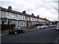
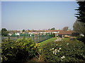
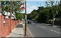
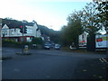
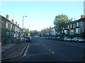
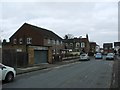
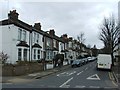
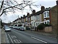
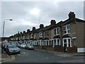
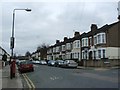
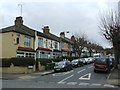
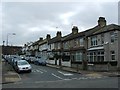
63 photos from this area
Area Information
Key information about the SE2 9EF including its size, population, and administrative classification.
- Area Type
- Postcode
- Area Size
- 1.2 hectares
- Population
- 2306
- Population Density
- 8484 people/km²
House Prices in SE2 9EF
40
Properties
£202,579
Average Sold Price
£54,000
Lowest Price
£442,000
Highest Price
Showing 40 properties
| Address | Type | Beds | Baths | Last Sale Price | Last Sale Date | |
|---|---|---|---|---|---|---|
| 150 Bracondale Road, Abbey Wood, SE2 9EF | Terraced | 2 | 1 | £442,000 | Sep 2024 | |
| 178 Bracondale Road, Abbey Wood, SE2 9EF | Terraced | 2 | 1 | £325,000 | May 2023 | |
| 210 Bracondale Road, Abbey Wood, SE2 9EF | Terraced | 2 | 1 | £350,000 | Dec 2022 | |
| 166 Bracondale Road, Abbey Wood, SE2 9EF | Detached | 1 | - | £415,000 | Jul 2019 | |
| 134 Bracondale Road, Abbey Wood, SE2 9EF | house | - | - | £377,500 | Oct 2018 | |
| 212 Bracondale Road, Abbey Wood, SE2 9EF | Terraced | 2 | - | £290,000 | Feb 2017 | |
| 188 Bracondale Road, Abbey Wood, SE2 9EF | house | - | - | £330,000 | Aug 2016 | |
| 154 Bracondale Road, Abbey Wood, SE2 9EF | house | - | - | £120,000 | Oct 2013 | |
| 138 Bracondale Road, Abbey Wood, SE2 9EF | Terraced | 2 | - | £178,000 | May 2013 | |
| 180 Bracondale Road, Abbey Wood, SE2 9EF | house | 2 | - | £167,000 | Oct 2011 |
Page 1 of 4
Energy Efficiency in SE2 9EF
Amenities
Schools
| Rank | School | Type | Entry gender | Ages |
|---|
Explore more schools in this area
Go to Schools tabDemographics
Household Size
Family (3-5 people)
most common
Accommodation Type
Houses
most common
Tenure
38
majority
Ethnic Group
White
most common
Religion
N/A
most common
Household Composition
N/A
most common
Age
47
median
Adults (30-64 years)
most common
Household Deprivation
N/A
with no deprivation
NS-SEC
26
in Lower managerial occupations
Explore more demographic insights in this area
Go to Demographics tabPlanning
Planning Constraints
- Flood RiskPremium
- Ramsar Wetland SitesPremium
- Area of Outstanding Natural BeautyPremium
- Protected Nature ReservePremium
- Protected WoodlandPremium