Area Overview for SE2 0PU
Photos of SE2 0PU
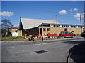
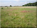
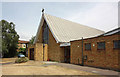
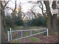
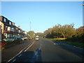
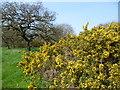
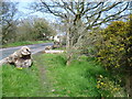
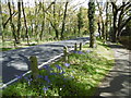
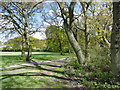
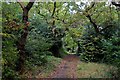
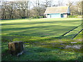
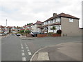
59 photos from this area
Area Information
Key information about the SE2 0PU including its size, population, and administrative classification.
- Area Type
- Postcode
- Area Size
- 9235 m²
- Population
- 1739
- Population Density
- 2333 people/km²
House Prices in SE2 0PU
23
Properties
£344,583
Average Sold Price
£165,995
Lowest Price
£565,000
Highest Price
Showing 23 properties
| Address | Type | Beds | Baths | Last Sale Price | Last Sale Date | |
|---|---|---|---|---|---|---|
| 288 Woolwich Road, London, SE2 0PU | house | - | - | £472,000 | Oct 2025 | |
| 306 Woolwich Road, London, SE2 0PU | Semi-detached | 3 | 1 | £560,000 | Jun 2024 | |
| 316 Woolwich Road, London, SE2 0PU | Semi-detached | 4 | 1 | £565,000 | Dec 2022 | |
| 282 Woolwich Road, London, SE2 0PU | house | - | - | £510,000 | Aug 2021 | |
| 304 Woolwich Road, London, SE2 0PU | house | - | - | £400,000 | Jun 2019 | |
| 292 Woolwich Road, London, SE2 0PU | Semi-detached | 4 | - | £487,500 | Oct 2018 | |
| 286 Woolwich Road, London, SE2 0PU | Detached | 3 | 2 | £470,000 | May 2018 | |
| 322 Woolwich Road, London, SE2 0PU | Semi-detached | 3 | 1 | £420,000 | Feb 2016 | |
| 312 Woolwich Road, London, SE2 0PU | house | 3 | - | £265,000 | Oct 2011 | |
| 314 Woolwich Road, London, SE2 0PU | house | - | - | £250,000 | Sep 2010 |
Page 1 of 3
Energy Efficiency in SE2 0PU
Amenities
Schools
| Rank | School | Type | Entry gender | Ages |
|---|
Explore more schools in this area
Go to Schools tabDemographics
Household Size
Family (3-5 people)
most common
Accommodation Type
Houses
most common
Tenure
60
majority
Ethnic Group
White
most common
Religion
N/A
most common
Household Composition
N/A
most common
Age
47
median
Adults (30-64 years)
most common
Household Deprivation
N/A
with no deprivation
NS-SEC
33
in Lower managerial occupations
Explore more demographic insights in this area
Go to Demographics tabPlanning
Planning Constraints
- Flood RiskPremium
- Ramsar Wetland SitesPremium
- Area of Outstanding Natural BeautyPremium
- Protected Nature ReservePremium
- Protected WoodlandPremium