Area Overview for SE19 3SZ
Photos of SE19 3SZ

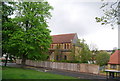
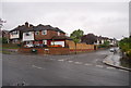
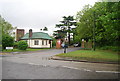
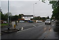
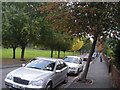
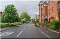
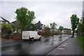
100 photos from this area
Area Information
Key information about the SE19 3SZ including its size, population, and administrative classification.
- Area Type
- Postcode
- Area Size
- 4349 m²
- Population
- 1981
- Population Density
- 10831 people/km²
House Prices in SE19 3SZ
37
Properties
£585,307
Average Sold Price
£70,000
Lowest Price
£1,200,000
Highest Price
Showing 37 properties
| Address | Type | Beds | Baths | Last Sale Price | Last Sale Date | |
|---|---|---|---|---|---|---|
| 39 Rockmount Road, Upper Norwood, London, SE19 3SZ | Terraced | 4 | 2 | £800,000 | Nov 2024 | |
| 1A Rockmount Road, Upper Norwood, London, SE19 3SZ | Semi-detached | 4 | 3 | £225,000 | Mar 2024 | |
| 35 Rockmount Road, Upper Norwood, London, SE19 3SZ | Terraced | 3 | - | £780,000 | May 2021 | |
| 41 Rockmount Road, Upper Norwood, London, SE19 3SZ | Semi-detached | 4 | 1 | £865,000 | Aug 2020 | |
| 31 Rockmount Road, Upper Norwood, London, SE19 3SZ | Semi-detached | 4 | 3 | £1,200,000 | Dec 2019 | |
| 21 Rockmount Road, Upper Norwood, London, SE19 3SZ | Semi-detached | 4 | 3 | £698,000 | Dec 2017 | |
| 3 Rockmount Road, Upper Norwood, London, SE19 3SZ | Semi-detached | 4 | 3 | £1,160,000 | Nov 2017 | |
| 1D Rockmount Road, Upper Norwood, London, SE19 3SZ | Detached | 3 | - | £589,995 | May 2013 | |
| 1B Rockmount Road, Upper Norwood, London, SE19 3SZ | Flat | 2 | 2 | £325,000 | Apr 2013 | |
| 29B Rockmount Road, Upper Norwood, London, SE19 3SZ | Flat | - | - | £426,000 | Feb 2012 |
Page 1 of 4
Energy Efficiency in SE19 3SZ
Amenities
Schools
| Rank | School | Type | Entry gender | Ages |
|---|
Explore more schools in this area
Go to Schools tabDemographics
Household Size
One person
most common
Accommodation Type
Flats
most common
Tenure
42
majority
Ethnic Group
White
most common
Religion
N/A
most common
Household Composition
N/A
most common
Age
47
median
Adults (30-64 years)
most common
Household Deprivation
N/A
with no deprivation
NS-SEC
50
in Lower managerial occupations
Explore more demographic insights in this area
Go to Demographics tabPlanning
Planning Constraints
- Flood RiskPremium
- Ramsar Wetland SitesPremium
- Area of Outstanding Natural BeautyPremium
- Protected Nature ReservePremium
- Protected WoodlandPremium