Area Overview for SE18 7DY
Photos of SE18 7DY
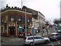
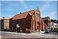
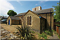
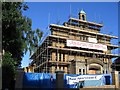
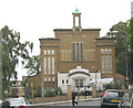


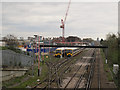
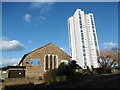
95 photos from this area
Area Information
Key information about the SE18 7DY including its size, population, and administrative classification.
- Area Type
- Postcode
- Area Size
- 9811 m²
- Population
- 2108
- Population Density
- 10701 people/km²
House Prices in SE18 7DY
27
Properties
£123,000
Average Sold Price
£40,000
Lowest Price
£250,000
Highest Price
Showing 27 properties
| Address | Type | Beds | Baths | Last Sale Price | Last Sale Date | |
|---|---|---|---|---|---|---|
| 148A Plumstead Road, Woolwich, SE18 7DY | Maisonette | - | - | £145,000 | Jul 2019 | |
| 144A Plumstead Road, Woolwich, SE18 7DY | Flat | 2 | 2 | £116,000 | Aug 2018 | |
| 140A Plumstead Road, Woolwich, SE18 7DY | Flat | - | - | £250,000 | Feb 2008 | |
| 143A Plumstead Road, Woolwich, SE18 7DY | Flat | - | - | £135,000 | Sep 2006 | |
| 142A Plumstead Road, Woolwich, SE18 7DY | Flat | - | - | £200,000 | Jan 2006 | |
| 138A Plumstead Road, Woolwich, SE18 7DY | Flat | - | - | £55,000 | Aug 2000 | |
| 141A Plumstead Road, Woolwich, SE18 7DY | Flat | - | - | £40,000 | Oct 1999 | |
| 145A Plumstead Road, Woolwich, SE18 7DY | Flat | - | - | £43,000 | Dec 1998 | |
| Gordon & Thompson Solicitors, 158A Plumstead Road, Woolwich, SE18 7DY | restaurant_cafe | - | - | - | - | |
| 137A Plumstead Road, Woolwich, SE18 7DY | Flat | - | - | - | - |
Page 1 of 3
Energy Efficiency in SE18 7DY
Amenities
Schools
| Rank | School | Type | Entry gender | Ages |
|---|
Explore more schools in this area
Go to Schools tabDemographics
Household Size
Family (3-5 people)
most common
Accommodation Type
Flats
most common
Tenure
15
majority
Ethnic Group
black_total
most common
Religion
N/A
most common
Household Composition
N/A
most common
Age
47
median
Adults (30-64 years)
most common
Household Deprivation
N/A
with no deprivation
NS-SEC
20
in Lower managerial occupations
Explore more demographic insights in this area
Go to Demographics tabPlanning
Planning Constraints
- Flood RiskPremium
- Ramsar Wetland SitesPremium
- Area of Outstanding Natural BeautyPremium
- Protected Nature ReservePremium
- Protected WoodlandPremium