Area Overview for SE18 2QP
Photos of SE18 2QP
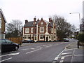
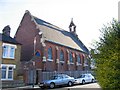
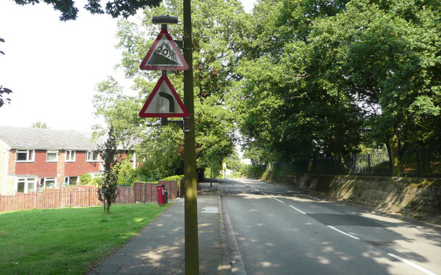
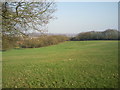
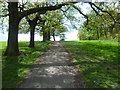
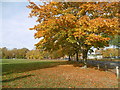
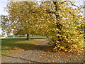
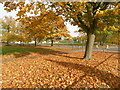
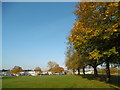
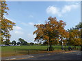
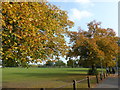
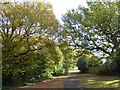
86 photos from this area
Area Information
Key information about the SE18 2QP including its size, population, and administrative classification.
- Area Type
- Postcode
- Area Size
- 6530 m²
- Population
- 1551
- Population Density
- 11532 people/km²
House Prices in SE18 2QP
38
Properties
£350,472
Average Sold Price
£80,000
Lowest Price
£610,000
Highest Price
Showing 38 properties
| Address | Type | Beds | Baths | Last Sale Price | Last Sale Date | |
|---|---|---|---|---|---|---|
| 8 Macoma Road, Plumstead, SE18 2QP | Terraced | 4 | 2 | £610,000 | Nov 2024 | |
| 10 Macoma Road, Plumstead, SE18 2QP | Terraced | 1 | 1 | £590,000 | Nov 2023 | |
| 44 Macoma Road, Plumstead, SE18 2QP | Terraced | 3 | 1 | £567,500 | Oct 2023 | |
| 40 Macoma Road, Plumstead, SE18 2QP | house | - | - | £550,000 | Sep 2021 | |
| 66 Macoma Road, Plumstead, SE18 2QP | Terraced | 3 | 1 | £510,000 | May 2019 | |
| 30 Macoma Road, Plumstead, SE18 2QP | Terraced | - | - | £365,000 | Jan 2019 | |
| 58 Macoma Road, Plumstead, SE18 2QP | Flat | - | - | £295,500 | Jul 2017 | |
| 28 Macoma Road, Plumstead, SE18 2QP | Flat | - | - | £205,500 | Jun 2017 | |
| 38 Macoma Road, Plumstead, SE18 2QP | Terraced | 3 | 1 | £516,460 | Dec 2016 | |
| 60 Macoma Road, Plumstead, SE18 2QP | Terraced | 3 | 1 | £452,000 | Aug 2015 |
Page 1 of 4
Energy Efficiency in SE18 2QP
Amenities
Schools
| Rank | School | Type | Entry gender | Ages |
|---|
Explore more schools in this area
Go to Schools tabDemographics
Household Size
Family (3-5 people)
most common
Accommodation Type
Houses
most common
Tenure
47
majority
Ethnic Group
White
most common
Religion
N/A
most common
Household Composition
N/A
most common
Age
47
median
Adults (30-64 years)
most common
Household Deprivation
N/A
with no deprivation
NS-SEC
30
in Lower managerial occupations
Explore more demographic insights in this area
Go to Demographics tabPlanning
Planning Constraints
- Flood RiskPremium
- Ramsar Wetland SitesPremium
- Area of Outstanding Natural BeautyPremium
- Protected Nature ReservePremium
- Protected WoodlandPremium