Area Overview for SE18 2DR
Photos of SE18 2DR


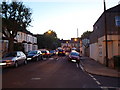
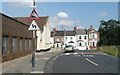
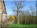
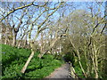
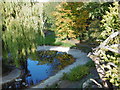


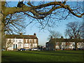
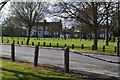
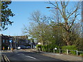
100 photos from this area
Area Information
Key information about the SE18 2DR including its size, population, and administrative classification.
- Area Type
- Postcode
- Area Size
- 1.4 hectares
- Population
- 1562
- Population Density
- 8611 people/km²
House Prices in SE18 2DR
21
Properties
£189,129
Average Sold Price
£75,000
Lowest Price
£430,000
Highest Price
Showing 21 properties
| Address | Type | Beds | Baths | Last Sale Price | Last Sale Date | |
|---|---|---|---|---|---|---|
| 138 Camdale Road, Plumstead, SE18 2DR | house | 3 | 1 | £375,000 | Jan 2021 | |
| 110 Camdale Road, Plumstead, SE18 2DR | house | - | - | £430,000 | Jan 2017 | |
| 136 Camdale Road, Plumstead, SE18 2DR | house | 3 | - | £222,500 | Apr 2012 | |
| 108 Camdale Road, Plumstead, SE18 2DR | house | - | - | £232,000 | Dec 2010 | |
| 98 Camdale Road, Plumstead, SE18 2DR | house | - | - | £245,000 | Sep 2008 | |
| 114 Camdale Road, Plumstead, SE18 2DR | Semi-detached | 3 | 1 | £82,668 | Mar 2000 | |
| 102 Camdale Road, Plumstead, SE18 2DR | Terraced | - | - | £77,025 | Feb 1999 | |
| 118 Camdale Road, Plumstead, SE18 2DR | Terraced | - | - | £75,075 | Feb 1999 | |
| 104 Camdale Road, Plumstead, SE18 2DR | Terraced | - | - | £77,025 | Feb 1999 | |
| 100 Camdale Road, Plumstead, SE18 2DR | house | - | - | £75,000 | Nov 1998 |
Page 1 of 3
Energy Efficiency in SE18 2DR
Amenities
Schools
| Rank | School | Type | Entry gender | Ages |
|---|
Explore more schools in this area
Go to Schools tabDemographics
Household Size
Family (3-5 people)
most common
Accommodation Type
Houses
most common
Tenure
59
majority
Ethnic Group
White
most common
Religion
N/A
most common
Household Composition
N/A
most common
Age
47
median
Adults (30-64 years)
most common
Household Deprivation
N/A
with no deprivation
NS-SEC
30
in Lower managerial occupations
Explore more demographic insights in this area
Go to Demographics tabPlanning
Planning Constraints
- Flood RiskPremium
- Ramsar Wetland SitesPremium
- Area of Outstanding Natural BeautyPremium
- Protected Nature ReservePremium
- Protected WoodlandPremium