Area Overview for SE18 1NR
Photos of SE18 1NR
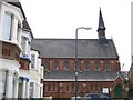
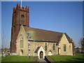
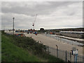
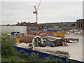
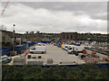
100 photos from this area
Area Information
Key information about the SE18 1NR including its size, population, and administrative classification.
- Area Type
- Postcode
- Area Size
- 4148 m²
- Population
- 2163
- Population Density
- 10788 people/km²
House Prices in SE18 1NR
28
Properties
£184,916
Average Sold Price
£45,000
Lowest Price
£362,000
Highest Price
Showing 28 properties
| Address | Type | Beds | Baths | Last Sale Price | Last Sale Date | |
|---|---|---|---|---|---|---|
| 11 Rippolson Road, Plumstead, SE18 1NR | Terraced | 2 | 1 | £362,000 | Sep 2025 | |
| 29 Rippolson Road, Plumstead, SE18 1NR | house | - | - | £290,000 | Aug 2024 | |
| 1 Rippolson Road, Plumstead, SE18 1NR | Flat | 1 | 1 | £320,000 | Jun 2021 | |
| 55 Rippolson Road, Plumstead, SE18 1NR | house | 2 | - | £230,000 | Jul 2014 | |
| 31 Rippolson Road, Plumstead, SE18 1NR | Terraced | 2 | - | £230,000 | Oct 2013 | |
| 47 Rippolson Road, Plumstead, SE18 1NR | Terraced | - | - | £165,000 | Jun 2006 | |
| 53 Rippolson Road, Plumstead, SE18 1NR | house | - | - | £164,000 | Nov 2004 | |
| 17 Rippolson Road, Plumstead, SE18 1NR | Terraced | - | - | £195,000 | Oct 2004 | |
| 51 Rippolson Road, Plumstead, SE18 1NR | house | 2 | - | £123,000 | Jul 2002 | |
| 37 Rippolson Road, Plumstead, SE18 1NR | house | - | - | £49,000 | Jan 1999 |
Page 1 of 3
Energy Efficiency in SE18 1NR
Amenities
Schools
| Rank | School | Type | Entry gender | Ages |
|---|
Explore more schools in this area
Go to Schools tabDemographics
Household Size
Family (3-5 people)
most common
Accommodation Type
Houses
most common
Tenure
42
majority
Ethnic Group
White
most common
Religion
N/A
most common
Household Composition
N/A
most common
Age
47
median
Adults (30-64 years)
most common
Household Deprivation
N/A
with no deprivation
NS-SEC
21
in Lower managerial occupations
Explore more demographic insights in this area
Go to Demographics tabPlanning
Planning Constraints
- Flood RiskPremium
- Ramsar Wetland SitesPremium
- Area of Outstanding Natural BeautyPremium
- Protected Nature ReservePremium
- Protected WoodlandPremium