Area Overview for SE17 3UE
Photos of SE17 3UE
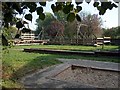
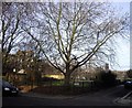
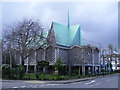
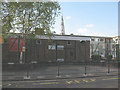
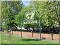
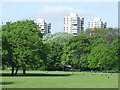
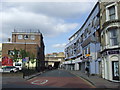
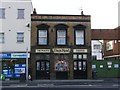
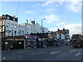
100 photos from this area
Area Information
Key information about the SE17 3UE including its size, population, and administrative classification.
- Area Type
- Postcode
- Area Size
- 3885 m²
- Population
- 2459
- Population Density
- 8659 people/km²
House Prices in SE17 3UE
30
Properties
£231,408
Average Sold Price
£115,000
Lowest Price
£341,355
Highest Price
Showing 30 properties
| Address | Type | Beds | Baths | Last Sale Price | Last Sale Date | |
|---|---|---|---|---|---|---|
| 29 Gateway, London, SE17 3UE | Flat | 5 | - | £266,000 | Mar 2025 | |
| 42 Gateway, London, SE17 3UE | Flat | 4 | 1 | £310,000 | Mar 2016 | |
| 39 Gateway, London, SE17 3UE | Flat | - | - | £341,355 | Apr 2015 | |
| 20 Gateway, London, SE17 3UE | Maisonette | - | - | £245,000 | Sep 2013 | |
| 25 Gateway, London, SE17 3UE | Maisonette | 3 | - | £175,000 | Jan 2007 | |
| 38 Gateway, London, SE17 3UE | Flat | 3 | 1 | £167,500 | Dec 2005 | |
| 23 Gateway, London, SE17 3UE | Flat | 4 | - | £115,000 | Dec 2001 | |
| 16 Gateway, London, SE17 3UE | Flat | 4 | 1 | - | - | |
| 21 Gateway, London, SE17 3UE | Maisonette | - | - | - | - | |
| 34 Gateway, London, SE17 3UE | Flat | - | - | - | - |
Page 1 of 3
Energy Efficiency in SE17 3UE
Amenities
Schools
| Rank | School | Type | Entry gender | Ages |
|---|
Explore more schools in this area
Go to Schools tabDemographics
Household Size
Two person
most common
Accommodation Type
Flats
most common
Tenure
29
majority
Ethnic Group
White
most common
Religion
N/A
most common
Household Composition
N/A
most common
Age
47
median
Adults (30-64 years)
most common
Household Deprivation
N/A
with no deprivation
NS-SEC
39
in Lower managerial occupations
Explore more demographic insights in this area
Go to Demographics tabPlanning
Planning Constraints
- Flood RiskPremium
- Ramsar Wetland SitesPremium
- Area of Outstanding Natural BeautyPremium
- Protected Nature ReservePremium
- Protected WoodlandPremium