Area Overview for SE17 1DL
Photos of SE17 1DL
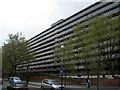
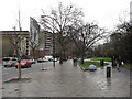
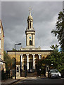
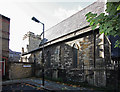
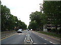
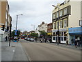
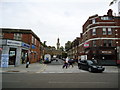
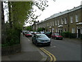
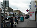
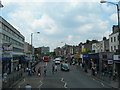
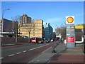
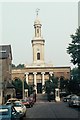
100 photos from this area
Area Information
Key information about the SE17 1DL including its size, population, and administrative classification.
- Area Type
- Postcode
- Area Size
- 2148 m²
- Population
- 1718
- Population Density
- 28923 people/km²
House Prices in SE17 1DL
20
Properties
£219,987
Average Sold Price
£145,000
Lowest Price
£365,000
Highest Price
Showing 20 properties
| Address | Type | Beds | Baths | Last Sale Price | Last Sale Date | |
|---|---|---|---|---|---|---|
| 12 Pilton Place, London, SE17 1DL | Flat | 3 | 1 | £365,000 | Feb 2017 | |
| 10 Pilton Place, London, SE17 1DL | Flat | 2 | 1 | £174,950 | Sep 2009 | |
| 19 Pilton Place, London, SE17 1DL | Flat | - | - | £145,000 | Oct 2008 | |
| 8 Pilton Place, London, SE17 1DL | Flat | - | - | £194,999 | Mar 2007 | |
| 3 Pilton Place, London, SE17 1DL | Flat | - | - | - | - | |
| 13 Pilton Place, London, SE17 1DL | Flat | - | - | - | - | |
| 20 Pilton Place, London, SE17 1DL | Unknown | - | - | - | - | |
| 16 Pilton Place, London, SE17 1DL | Unknown | - | - | - | - | |
| 11 Pilton Place, London, SE17 1DL | Flat | - | - | - | - | |
| 2 Pilton Place, London, SE17 1DL | Flat | - | - | - | - |
Page 1 of 2
Energy Efficiency in SE17 1DL
Amenities
Schools
| Rank | School | Type | Entry gender | Ages |
|---|
Explore more schools in this area
Go to Schools tabDemographics
Household Size
Family (3-5 people)
most common
Accommodation Type
Flats
most common
Tenure
13
majority
Ethnic Group
black_total
most common
Religion
N/A
most common
Household Composition
N/A
most common
Age
47
median
Adults (30-64 years)
most common
Household Deprivation
N/A
with no deprivation
NS-SEC
25
in Lower managerial occupations
Explore more demographic insights in this area
Go to Demographics tabPlanning
Planning Constraints
- Flood RiskPremium
- Ramsar Wetland SitesPremium
- Area of Outstanding Natural BeautyPremium
- Protected Nature ReservePremium
- Protected WoodlandPremium