Area Overview for SE15 3BS
Photos of SE15 3BS
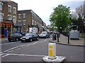
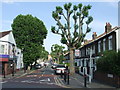
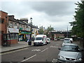
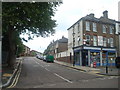
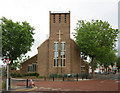
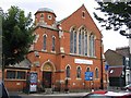
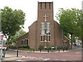
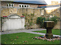
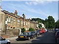
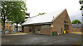
100 photos from this area
Area Information
Key information about the SE15 3BS including its size, population, and administrative classification.
- Area Type
- Postcode
- Area Size
- 5.9 hectares
- Population
- 1704
- Population Density
- 5052 people/km²
House Prices in SE15 3BS
90
Properties
£521,041
Average Sold Price
£40,000
Lowest Price
£1,250,000
Highest Price
Showing 90 properties
| Address | Type | Beds | Baths | Last Sale Price | Last Sale Date | |
|---|---|---|---|---|---|---|
| 6 Ivydale Road, London, SE15 3BS | Terraced | 3 | 1 | £960,000 | Jun 2025 | |
| 44 Ivydale Road, London, SE15 3BS | Flat | - | - | £480,000 | Mar 2025 | |
| 48A Ivydale Road, London, SE15 3BS | Flat | - | - | £500,000 | Nov 2024 | |
| 62 Ivydale Road, London, SE15 3BS | Flat | 2 | 1 | £1,250,000 | Sep 2024 | |
| 70 Ivydale Road, London, SE15 3BS | Terraced | 3 | 1 | £1,075,000 | Jul 2024 | |
| 94A Ivydale Road, London, SE15 3BS | Flat | 2 | 1 | £555,000 | Jul 2024 | |
| 102 Ivydale Road, London, SE15 3BS | Terraced | 3 | 1 | £950,500 | Jan 2024 | |
| 110A Ivydale Road, London, SE15 3BS | Flat | - | - | £475,000 | Aug 2022 | |
| 52A Ivydale Road, London, SE15 3BS | Flat | 2 | 1 | £580,000 | Mar 2022 | |
| 46 Ivydale Road, London, SE15 3BS | Terraced | 4 | 1 | £810,000 | Jun 2021 |
Page 1 of 9
Energy Efficiency in SE15 3BS
Amenities
Schools
| Rank | School | Type | Entry gender | Ages |
|---|
Explore more schools in this area
Go to Schools tabDemographics
Household Size
Family (3-5 people)
most common
Accommodation Type
Houses
most common
Tenure
65
majority
Ethnic Group
White
most common
Religion
N/A
most common
Household Composition
N/A
most common
Age
47
median
Adults (30-64 years)
most common
Household Deprivation
N/A
with no deprivation
NS-SEC
52
in Lower managerial occupations
Explore more demographic insights in this area
Go to Demographics tabPlanning
Planning Constraints
- Flood RiskPremium
- Ramsar Wetland SitesPremium
- Area of Outstanding Natural BeautyPremium
- Protected Nature ReservePremium
- Protected WoodlandPremium