Area Overview for SE15 2TH
Photos of SE15 2TH
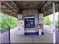
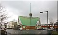
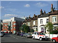
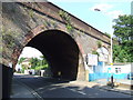
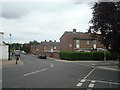
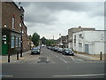
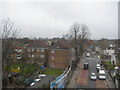
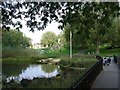
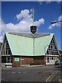
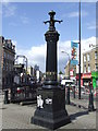
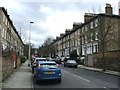
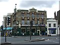
100 photos from this area
Area Information
Key information about the SE15 2TH including its size, population, and administrative classification.
- Area Type
- Postcode
- Area Size
- 5909 m²
- Population
- 2624
- Population Density
- 13388 people/km²
House Prices in SE15 2TH
16
Properties
£576,170
Average Sold Price
£74,500
Lowest Price
£950,000
Highest Price
Showing 16 properties
| Address | Type | Beds | Baths | Last Sale Price | Last Sale Date | |
|---|---|---|---|---|---|---|
| 4 Hollydale Road, London, SE15 2TH | Terraced | 5 | 2 | £950,000 | Jul 2023 | |
| 8 Hollydale Road, London, SE15 2TH | house | - | - | £710,000 | Dec 2022 | |
| 92 Hollydale Road, London, SE15 2TH | house | - | - | £850,000 | Nov 2022 | |
| 14 Hollydale Road, London, SE15 2TH | house | - | - | £899,950 | Sep 2022 | |
| 88 Hollydale Road, London, SE15 2TH | Terraced | 3 | 1 | £850,000 | Jun 2022 | |
| 6 Hollydale Road, London, SE15 2TH | Terraced | 3 | - | £602,250 | Jan 2015 | |
| 12 Hollydale Road, London, SE15 2TH | Terraced | 3 | 1 | £560,000 | Jan 2014 | |
| 18 Hollydale Road, London, SE15 2TH | house | 4 | 2 | £180,000 | Mar 2003 | |
| 2 Hollydale Road, London, SE15 2TH | house | - | - | £85,000 | May 1998 | |
| 86 Hollydale Road, London, SE15 2TH | Terraced | - | - | £74,500 | Nov 1997 |
Page 1 of 2
Energy Efficiency in SE15 2TH
Amenities
Schools
| Rank | School | Type | Entry gender | Ages |
|---|
Explore more schools in this area
Go to Schools tabDemographics
Household Size
One person
most common
Accommodation Type
Flats
most common
Tenure
33
majority
Ethnic Group
White
most common
Religion
N/A
most common
Household Composition
N/A
most common
Age
47
median
Adults (30-64 years)
most common
Household Deprivation
N/A
with no deprivation
NS-SEC
41
in Lower managerial occupations
Explore more demographic insights in this area
Go to Demographics tabPlanning
Planning Constraints
- Flood RiskPremium
- Ramsar Wetland SitesPremium
- Area of Outstanding Natural BeautyPremium
- Protected Nature ReservePremium
- Protected WoodlandPremium