Area Overview for SE14 5DG
Photos of SE14 5DG
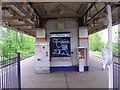
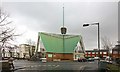
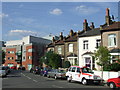
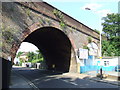
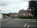
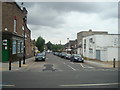
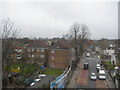
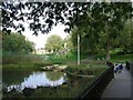
100 photos from this area
Area Information
Key information about the SE14 5DG including its size, population, and administrative classification.
- Area Type
- Postcode
- Area Size
- 4573 m²
- Population
- 1790
- Population Density
- 11839 people/km²
House Prices in SE14 5DG
41
Properties
£150,000
Average Sold Price
£150,000
Lowest Price
£150,000
Highest Price
Showing 41 properties
| Address | Type | Beds | Baths | Last Sale Price | Last Sale Date | |
|---|---|---|---|---|---|---|
| 161 New Cross Road, London, SE14 5DG | Retail | - | - | £150,000 | Jun 2002 | |
| Flat 4, 181A New Cross Road, London, SE14 5DG | Flat | 2 | 1 | - | - | |
| 177-179 New Cross Road, London, SE14 5DG | Retail | - | - | - | - | |
| 169B New Cross Road, London, SE14 5DG | Flat | - | - | - | - | |
| 173D New Cross Road, London, SE14 5DG | Flat | - | - | - | - | |
| 173C New Cross Road, London, SE14 5DG | Flat | - | - | - | - | |
| 173A NEW CROSS ROAD, London, SE14 5DG | Flat | 1 | 1 | - | - | |
| 181A NEW CROSS ROAD, London, SE14 5DG | Flat | - | - | - | - | |
| Flat B, 167-169 New Cross Road, London, SE14 5DG | Flat | - | - | - | - | |
| Flat A, 167-169 New Cross Road, London, SE14 5DG | Flat | - | - | - | - |
Page 1 of 5
Energy Efficiency in SE14 5DG
Amenities
Schools
| Rank | School | Type | Entry gender | Ages |
|---|
Explore more schools in this area
Go to Schools tabDemographics
Household Size
Family (3-5 people)
most common
Accommodation Type
Houses
most common
Tenure
31
majority
Ethnic Group
White
most common
Religion
N/A
most common
Household Composition
N/A
most common
Age
47
median
Adults (30-64 years)
most common
Household Deprivation
N/A
with no deprivation
NS-SEC
33
in Lower managerial occupations
Explore more demographic insights in this area
Go to Demographics tabPlanning
Planning Constraints
- Flood RiskPremium
- Ramsar Wetland SitesPremium
- Area of Outstanding Natural BeautyPremium
- Protected Nature ReservePremium
- Protected WoodlandPremium