Area Overview for SE10 9BL
Photos of SE10 9BL
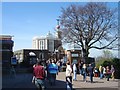
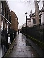
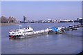
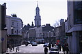
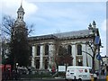
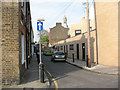
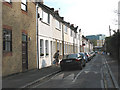
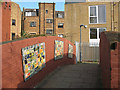
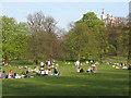
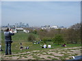
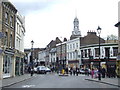
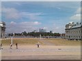
100 photos from this area
Area Information
Key information about the SE10 9BL including its size, population, and administrative classification.
- Area Type
- Postcode
- Area Size
- 9360 m²
- Population
- 1423
- Population Density
- 20329 people/km²
House Prices in SE10 9BL
25
Properties
-
Average Sold Price
-
Lowest Price
-
Highest Price
Showing 25 properties
| Address | Type | Beds | Baths | Last Sale Price | Last Sale Date | |
|---|---|---|---|---|---|---|
| 40A Greenwich Church Street, Greenwich, SE10 9BL | Flat | - | - | - | - | |
| Tai Won Mein Noodle House, 39-41 Greenwich Church Street, Greenwich, SE10 9BL | restaurant_cafe | - | - | - | - | |
| Slim Chickens, 45 Greenwich Church Street, Greenwich, SE10 9BL | restaurant_cafe | - | - | - | - | |
| Bianco Pizzeria Ristorante, 43 Greenwich Church Street, Greenwich, SE10 9BL | Retail | - | - | - | - | |
| 36A Greenwich Church Street, Greenwich, SE10 9BL | Flat | - | - | - | - | |
| 59A Greenwich Church Street, Greenwich, SE10 9BL | undefined | - | - | - | - | |
| 51A Greenwich Church Street, Greenwich, SE10 9BL | Flat | - | - | - | - | |
| 1 College Approach, Greenwich, SE10 9BL | Flat | - | - | - | - | |
| 61 Greenwich Church Street, Greenwich, SE10 9BL | Flat | 1 | 1 | - | - | |
| 34A Greenwich Church Street, Greenwich, SE10 9BL | Flat | - | - | - | - |
Page 1 of 3
Energy Efficiency in SE10 9BL
Amenities
Schools
| Rank | School | Type | Entry gender | Ages |
|---|
Explore more schools in this area
Go to Schools tabDemographics
Household Size
Two person
most common
Accommodation Type
Flats
most common
Tenure
31
majority
Ethnic Group
White
most common
Religion
N/A
most common
Household Composition
N/A
most common
Age
22
median
Adults (30-64 years)
most common
Household Deprivation
N/A
with no deprivation
NS-SEC
40
in Lower managerial occupations
Explore more demographic insights in this area
Go to Demographics tabPlanning
Planning Constraints
- Flood RiskPremium
- Ramsar Wetland SitesPremium
- Area of Outstanding Natural BeautyPremium
- Protected Nature ReservePremium
- Protected WoodlandPremium