Area Overview for SE10 9AH
Photos of SE10 9AH
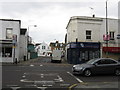
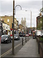
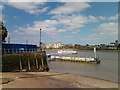
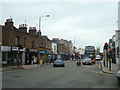
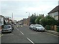
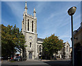
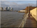
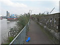
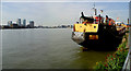
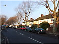
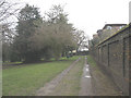
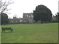
100 photos from this area
Area Information
Key information about the SE10 9AH including its size, population, and administrative classification.
- Area Type
- Postcode
- Area Size
- 4016 m²
- Population
- 2235
- Population Density
- 12486 people/km²
House Prices in SE10 9AH
25
Properties
£537,656
Average Sold Price
£60,000
Lowest Price
£870,000
Highest Price
Showing 25 properties
| Address | Type | Beds | Baths | Last Sale Price | Last Sale Date | |
|---|---|---|---|---|---|---|
| 64 Pelton Road, Greenwich, SE10 9AH | Detached | 3 | 1 | £870,000 | Dec 2025 | |
| 55 Pelton Road, Greenwich, SE10 9AH | Terraced | 2 | 1 | £690,000 | Dec 2024 | |
| 53 Pelton Road, Greenwich, SE10 9AH | Terraced | 5 | 4 | £736,000 | Nov 2024 | |
| 48 Pelton Road, Greenwich, SE10 9AH | house | 3 | 1 | £820,000 | Nov 2024 | |
| 61 Pelton Road, Greenwich, SE10 9AH | Terraced | 2 | 1 | £687,500 | Aug 2024 | |
| 65 Pelton Road, Greenwich, SE10 9AH | Terraced | 2 | 1 | £636,500 | Dec 2022 | |
| 62 Pelton Road, Greenwich, SE10 9AH | house | - | - | £825,000 | Jan 2022 | |
| 56 Pelton Road, Greenwich, SE10 9AH | house | - | - | £550,000 | Sep 2013 | |
| 68 Pelton Road, Greenwich, SE10 9AH | house | - | - | £530,000 | Feb 2013 | |
| 51 Pelton Road, Greenwich, SE10 9AH | Terraced | 5 | 4 | £442,000 | Mar 2012 |
Page 1 of 3
Energy Efficiency in SE10 9AH
Amenities
Schools
| Rank | School | Type | Entry gender | Ages |
|---|
Explore more schools in this area
Go to Schools tabDemographics
Household Size
Two person
most common
Accommodation Type
Flats
most common
Tenure
39
majority
Ethnic Group
White
most common
Religion
N/A
most common
Household Composition
N/A
most common
Age
47
median
Adults (30-64 years)
most common
Household Deprivation
N/A
with no deprivation
NS-SEC
50
in Lower managerial occupations
Explore more demographic insights in this area
Go to Demographics tabPlanning
Planning Constraints
- Flood RiskPremium
- Ramsar Wetland SitesPremium
- Area of Outstanding Natural BeautyPremium
- Protected Nature ReservePremium
- Protected WoodlandPremium