Area Overview for SE10 8RT
Photos of SE10 8RT
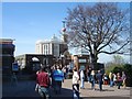
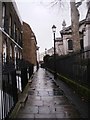
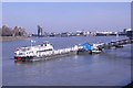
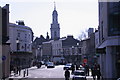

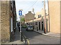
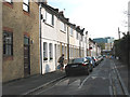
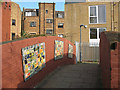
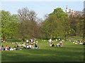
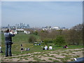
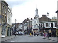
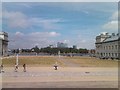
100 photos from this area
Area Information
Key information about the SE10 8RT including its size, population, and administrative classification.
- Area Type
- Postcode
- Area Size
- 7333 m²
- Population
- 1866
- Population Density
- 5024 people/km²
House Prices in SE10 8RT
44
Properties
£1,124,588
Average Sold Price
£60,000
Lowest Price
£2,585,000
Highest Price
Showing 44 properties
| Address | Type | Beds | Baths | Last Sale Price | Last Sale Date | |
|---|---|---|---|---|---|---|
| 74 Royal Hill, Greenwich, SE10 8RT | Terraced | 4 | 1 | £1,310,000 | Nov 2024 | |
| 50 Royal Hill, Greenwich, SE10 8RT | house | 4 | 1 | £1,340,000 | Sep 2024 | |
| 62 Royal Hill, Greenwich, SE10 8RT | house | - | - | £845,000 | Mar 2023 | |
| 38 Royal Hill, Greenwich, SE10 8RT | Terraced | 5 | 3 | £2,585,000 | Feb 2023 | |
| 48 Royal Hill, Greenwich, SE10 8RT | Semi-detached | 5 | 5 | £2,393,750 | Jul 2022 | |
| 44 Royal Hill, Greenwich, SE10 8RT | house | 4 | 2 | £1,730,000 | May 2022 | |
| 20A Royal Hill, Greenwich, SE10 8RT | Flat | - | 1 | £270,000 | Jan 2022 | |
| 82 Royal Hill, Greenwich, SE10 8RT | house | - | - | £1,400,000 | Oct 2021 | |
| 60 Royal Hill, Greenwich, SE10 8RT | Terraced | 4 | 2 | £1,270,000 | Jun 2021 | |
| 40 Royal Hill, Greenwich, SE10 8RT | house | - | - | £870,000 | Apr 2021 |
Page 1 of 5
Energy Efficiency in SE10 8RT
Amenities
Schools
| Rank | School | Type | Entry gender | Ages |
|---|
Explore more schools in this area
Go to Schools tabDemographics
Household Size
Two person
most common
Accommodation Type
Flats
most common
Tenure
40
majority
Ethnic Group
White
most common
Religion
N/A
most common
Household Composition
N/A
most common
Age
47
median
Adults (30-64 years)
most common
Household Deprivation
N/A
with no deprivation
NS-SEC
54
in Lower managerial occupations
Explore more demographic insights in this area
Go to Demographics tabPlanning
Planning Constraints
- Flood RiskPremium
- Ramsar Wetland SitesPremium
- Area of Outstanding Natural BeautyPremium
- Protected Nature ReservePremium
- Protected WoodlandPremium