Area Overview for SE1 6AP
Photos of SE1 6AP
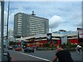
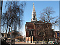
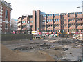
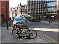
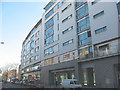
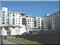
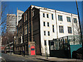
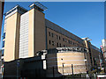
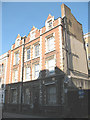
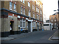

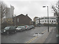
100 photos from this area
Area Information
Key information about the SE1 6AP including its size, population, and administrative classification.
- Area Type
- Postcode
- Area Size
- 2200 m²
- Population
- 1536
- Population Density
- 16017 people/km²
House Prices in SE1 6AP
6
Properties
£858,081
Average Sold Price
£349,950
Lowest Price
£1,410,000
Highest Price
Showing 6 properties
| Address | Type | Beds | Baths | Last Sale Price | Last Sale Date | |
|---|---|---|---|---|---|---|
| 59 Harper Road, London, SE1 6AP | house | - | - | £738,534 | Oct 2023 | |
| 49 Harper Road, London, SE1 6AP | Terraced | 4 | 1 | £1,410,000 | Mar 2016 | |
| 53 Harper Road, London, SE1 6AP | Terraced | 3 | - | £1,100,000 | Sep 2014 | |
| 57 Harper Road, London, SE1 6AP | house | 4 | - | £860,000 | Aug 2011 | |
| 55 Harper Road, London, SE1 6AP | Terraced | - | - | £690,000 | Mar 2007 | |
| 51 Harper Road, London, SE1 6AP | Terraced | 4 | 3 | £349,950 | Mar 2001 |
Energy Efficiency in SE1 6AP
Amenities
Schools
| Rank | School | Type | Entry gender | Ages |
|---|
Explore more schools in this area
Go to Schools tabDemographics
Household Size
One person
most common
Accommodation Type
Flats
most common
Tenure
29
majority
Ethnic Group
White
most common
Religion
N/A
most common
Household Composition
N/A
most common
Age
47
median
Adults (30-64 years)
most common
Household Deprivation
N/A
with no deprivation
NS-SEC
49
in Lower managerial occupations
Explore more demographic insights in this area
Go to Demographics tabPlanning
Planning Constraints
- Flood RiskPremium
- Ramsar Wetland SitesPremium
- Area of Outstanding Natural BeautyPremium
- Protected Nature ReservePremium
- Protected WoodlandPremium