Area Overview for SE1 2LN
Photos of SE1 2LN
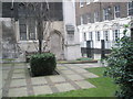
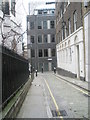
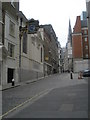
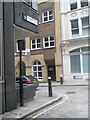
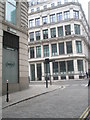
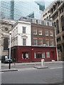
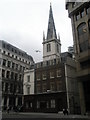
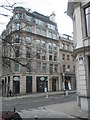
100 photos from this area
Area Information
Key information about the SE1 2LN including its size, population, and administrative classification.
- Area Type
- Postcode
- Area Size
- 2047 m²
- Population
- 1035
- Population Density
- 22747 people/km²
House Prices in SE1 2LN
9
Properties
£513,400
Average Sold Price
£212,000
Lowest Price
£960,000
Highest Price
Showing 9 properties
| Address | Type | Beds | Baths | Last Sale Price | Last Sale Date | |
|---|---|---|---|---|---|---|
| 6 Horselydown Lane, London, SE1 2LN | Terraced | 3 | 2 | £925,000 | Aug 2023 | |
| 4 Horselydown Lane, London, SE1 2LN | house | - | - | £960,000 | Nov 2014 | |
| 2 Horselydown Lane, London, SE1 2LN | Terraced | - | - | £250,000 | Jun 2001 | |
| 8 Horselydown Lane, London, SE1 2LN | Terraced | - | - | £220,000 | Dec 1998 | |
| 10 Horselydown Lane, London, SE1 2LN | Terraced | 3 | - | £212,000 | Sep 1997 | |
| Staff Accomodation, 20A Horselydown Lane, London, SE1 2LN | Flat | - | - | - | - | |
| Anchor Tap, 20A Horselydown Lane, London, SE1 2LN | pub | - | - | - | - | |
| More Yoga, 7 Horselydown Lane, London, SE1 2LN | Office | - | - | - | - | |
| Managers Flat, 20A Horselydown Lane, London, SE1 2LN | Flat | - | - | - | - |
Energy Efficiency in SE1 2LN
Amenities
Schools
| Rank | School | Type | Entry gender | Ages |
|---|
Explore more schools in this area
Go to Schools tabDemographics
Household Size
Two person
most common
Accommodation Type
Flats
most common
Tenure
36
majority
Ethnic Group
White
most common
Religion
N/A
most common
Household Composition
N/A
most common
Age
47
median
Adults (30-64 years)
most common
Household Deprivation
N/A
with no deprivation
NS-SEC
79
in Lower managerial occupations
Explore more demographic insights in this area
Go to Demographics tabPlanning
Planning Constraints
- Flood RiskPremium
- Ramsar Wetland SitesPremium
- Area of Outstanding Natural BeautyPremium
- Protected Nature ReservePremium
- Protected WoodlandPremium