Area Overview for RM9 6YB
Photos of RM9 6YB
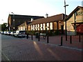
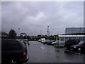
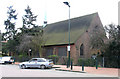
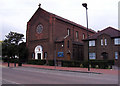
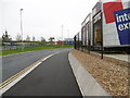
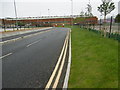

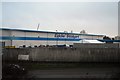

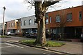
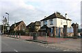
38 photos from this area
Area Information
Key information about the RM9 6YB including its size, population, and administrative classification.
- Area Type
- Postcode
- Area Size
- 5159 m²
- Population
- 1617
- Population Density
- 8939 people/km²
House Prices in RM9 6YB
26
Properties
£190,313
Average Sold Price
£84,995
Lowest Price
£350,000
Highest Price
Showing 26 properties
| Address | Type | Beds | Baths | Last Sale Price | Last Sale Date | |
|---|---|---|---|---|---|---|
| 143 Burdetts Road, Dagenham, RM9 6YB | house | - | - | £350,000 | Dec 2023 | |
| 159 Burdetts Road, Dagenham, RM9 6YB | Flat | 1 | 1 | £212,000 | Aug 2023 | |
| 155 Burdetts Road, Dagenham, RM9 6YB | Flat | - | - | £266,000 | Aug 2023 | |
| 157 Burdetts Road, Dagenham, RM9 6YB | Maisonette | 1 | 1 | £155,000 | Dec 2015 | |
| 125 Burdetts Road, Dagenham, RM9 6YB | house | - | - | £280,000 | Jul 2015 | |
| 133 Burdetts Road, Dagenham, RM9 6YB | house | - | - | £280,000 | Jul 2015 | |
| 153 Burdetts Road, Dagenham, RM9 6YB | Flat | - | - | £160,000 | Feb 2015 | |
| 127 Burdetts Road, Dagenham, RM9 6YB | Semi-detached | 3 | - | £229,000 | Jan 2014 | |
| 123 Burdetts Road, Dagenham, RM9 6YB | Terraced | 2 | 1 | £149,500 | Sep 2009 | |
| 129 Burdetts Road, Dagenham, RM9 6YB | Semi-detached | - | - | £202,000 | Jan 2009 |
Page 1 of 3
Energy Efficiency in RM9 6YB
Amenities
Schools
| Rank | School | Type | Entry gender | Ages |
|---|
Explore more schools in this area
Go to Schools tabDemographics
Household Size
One person
most common
Accommodation Type
Houses
most common
Tenure
34
majority
Ethnic Group
White
most common
Religion
N/A
most common
Household Composition
N/A
most common
Age
47
median
Adults (30-64 years)
most common
Household Deprivation
N/A
with no deprivation
NS-SEC
18
in Lower managerial occupations
Explore more demographic insights in this area
Go to Demographics tabPlanning
Planning Constraints
- Flood RiskPremium
- Ramsar Wetland SitesPremium
- Area of Outstanding Natural BeautyPremium
- Protected Nature ReservePremium
- Protected WoodlandPremium