Area Overview for RM9 5AN
Photos of RM9 5AN
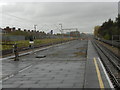
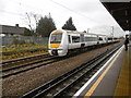
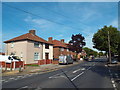
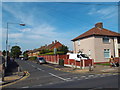


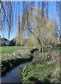
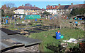
44 photos from this area
Area Information
Key information about the RM9 5AN including its size, population, and administrative classification.
- Area Type
- Postcode
- Area Size
- 8703 m²
- Population
- 1438
- Population Density
- 9587 people/km²
House Prices in RM9 5AN
20
Properties
£626,000
Average Sold Price
£300,000
Lowest Price
£952,000
Highest Price
Showing 20 properties
| Address | Type | Beds | Baths | Last Sale Price | Last Sale Date | |
|---|---|---|---|---|---|---|
| 243A Heathway, Dagenham, RM9 5AN | Flat | - | - | £952,000 | May 2019 | |
| 247A Heathway, Dagenham, RM9 5AN | Flat | - | - | £300,000 | Jan 2004 | |
| 233A Heathway, Dagenham, RM9 5AN | Flat | - | - | - | - | |
| 233B Heathway, Dagenham, RM9 5AN | Flat | - | - | - | - | |
| 231A Heathway, Dagenham, RM9 5AN | Maisonette | - | - | - | - | |
| Woolworths, 237 Heathway, Dagenham, RM9 5AN | shop | - | - | - | - | |
| Woolworths, 239 Heathway, Dagenham, RM9 5AN | shop | - | - | - | - | |
| Barclays, 231 Heathway, Dagenham, RM9 5AN | Retail | - | - | - | - | |
| National Westminster Bank, 245 Heathway, Dagenham, RM9 5AN | Retail | - | - | - | - | |
| Woolworths, 241 Heathway, Dagenham, RM9 5AN | shop | - | - | - | - |
Page 1 of 2
Energy Efficiency in RM9 5AN
Amenities
Schools
| Rank | School | Type | Entry gender | Ages |
|---|
Explore more schools in this area
Go to Schools tabDemographics
Household Size
Family (3-5 people)
most common
Accommodation Type
Houses
most common
Tenure
41
majority
Ethnic Group
White
most common
Religion
N/A
most common
Household Composition
N/A
most common
Age
47
median
Adults (30-64 years)
most common
Household Deprivation
N/A
with no deprivation
NS-SEC
19
in Lower managerial occupations
Explore more demographic insights in this area
Go to Demographics tabPlanning
Planning Constraints
- Flood RiskPremium
- Ramsar Wetland SitesPremium
- Area of Outstanding Natural BeautyPremium
- Protected Nature ReservePremium
- Protected WoodlandPremium