Area Overview for RM9 4NS
Photos of RM9 4NS
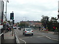
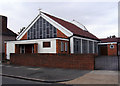
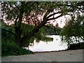
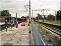
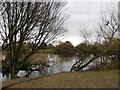
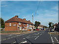
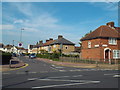
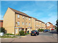
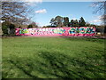
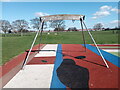
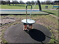
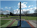
64 photos from this area
Area Information
Key information about the RM9 4NS including its size, population, and administrative classification.
- Area Type
- Postcode
- Area Size
- 5667 m²
- Population
- 2080
- Population Density
- 4020 people/km²
House Prices in RM9 4NS
12
Properties
£271,874
Average Sold Price
£84,000
Lowest Price
£550,000
Highest Price
Showing 12 properties
| Address | Type | Beds | Baths | Last Sale Price | Last Sale Date | |
|---|---|---|---|---|---|---|
| 33 Rusper Road, Dagenham, RM9 4NS | Semi-detached | 5 | 2 | £550,000 | Aug 2025 | |
| 37 Rusper Road, Dagenham, RM9 4NS | Retail | 3 | 1 | £435,000 | Oct 2021 | |
| 52 Rusper Road, Dagenham, RM9 4NS | Semi-detached | 3 | 1 | £425,000 | Feb 2020 | |
| 27 Rusper Road, Dagenham, RM9 4NS | Semi-detached | 3 | - | £285,000 | Oct 2014 | |
| 39 Rusper Road, Dagenham, RM9 4NS | Semi-detached | - | - | £199,995 | Sep 2004 | |
| 29 Rusper Road, Dagenham, RM9 4NS | Semi-detached | - | - | £95,000 | Nov 1999 | |
| 41 Rusper Road, Dagenham, RM9 4NS | house | 3 | 1 | £101,000 | Oct 1999 | |
| 31 Rusper Road, Dagenham, RM9 4NS | Semi-detached | - | - | £84,000 | Jan 1999 | |
| 35 Rusper Road, Dagenham, RM9 4NS | house | - | - | - | - | |
| 48 Rusper Road, Dagenham, RM9 4NS | house | - | - | - | - |
Page 1 of 2
Energy Efficiency in RM9 4NS
Amenities
Schools
| Rank | School | Type | Entry gender | Ages |
|---|
Explore more schools in this area
Go to Schools tabDemographics
Household Size
Family (3-5 people)
most common
Accommodation Type
Houses
most common
Tenure
50
majority
Ethnic Group
White
most common
Religion
N/A
most common
Household Composition
N/A
most common
Age
47
median
Adults (30-64 years)
most common
Household Deprivation
N/A
with no deprivation
NS-SEC
22
in Lower managerial occupations
Explore more demographic insights in this area
Go to Demographics tabPlanning
Planning Constraints
- Flood RiskPremium
- Ramsar Wetland SitesPremium
- Area of Outstanding Natural BeautyPremium
- Protected Nature ReservePremium
- Protected WoodlandPremium