Area Overview for RM7 8AL
Photos of RM7 8AL
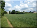
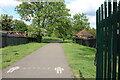
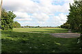
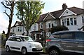
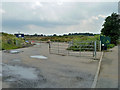
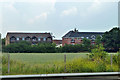
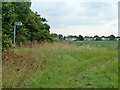
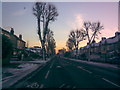
15 photos from this area
Area Information
Key information about the RM7 8AL including its size, population, and administrative classification.
- Area Type
- Postcode
- Area Size
- 1.6 hectares
- Population
- 1843
- Population Density
- 3806 people/km²
House Prices in RM7 8AL
57
Properties
£323,500
Average Sold Price
£95,995
Lowest Price
£600,000
Highest Price
Showing 57 properties
| Address | Type | Beds | Baths | Last Sale Price | Last Sale Date | |
|---|---|---|---|---|---|---|
| 168 Marlborough Road, Romford, RM7 8AL | Terraced | 3 | 2 | £457,000 | Sep 2025 | |
| 188 Marlborough Road, Romford, RM7 8AL | Terraced | 3 | 1 | £465,000 | Sep 2024 | |
| 140 Marlborough Road, Romford, RM7 8AL | Terraced | 3 | 1 | £485,000 | Jul 2024 | |
| 202 Marlborough Road, Romford, RM7 8AL | Semi-detached | 4 | 3 | £600,000 | Jun 2024 | |
| 166 Marlborough Road, Romford, RM7 8AL | Terraced | 3 | 1 | £460,000 | Apr 2024 | |
| 124 Marlborough Road, Romford, RM7 8AL | house | 3 | - | £445,000 | Dec 2023 | |
| 138 Marlborough Road, Romford, RM7 8AL | house | - | - | £425,000 | Jun 2022 | |
| 122 Marlborough Road, Romford, RM7 8AL | house | - | - | £390,000 | Feb 2022 | |
| 186 Marlborough Road, Romford, RM7 8AL | Terraced | 3 | - | £410,000 | Jun 2021 | |
| 110 Marlborough Road, Romford, RM7 8AL | house | - | - | £390,000 | Jun 2021 |
Page 1 of 6
Energy Efficiency in RM7 8AL
Amenities
Schools
| Rank | School | Type | Entry gender | Ages |
|---|
Explore more schools in this area
Go to Schools tabDemographics
Household Size
Family (3-5 people)
most common
Accommodation Type
Houses
most common
Tenure
67
majority
Ethnic Group
White
most common
Religion
N/A
most common
Household Composition
N/A
most common
Age
47
median
Adults (30-64 years)
most common
Household Deprivation
N/A
with no deprivation
NS-SEC
26
in Lower managerial occupations
Explore more demographic insights in this area
Go to Demographics tabPlanning
Planning Constraints
- Flood RiskPremium
- Ramsar Wetland SitesPremium
- Area of Outstanding Natural BeautyPremium
- Protected Nature ReservePremium
- Protected WoodlandPremium