Area Overview for RM7 7AU
Photos of RM7 7AU
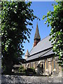
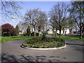
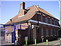
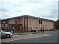
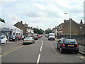
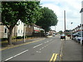
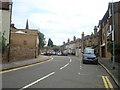
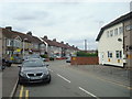
59 photos from this area
Area Information
Key information about the RM7 7AU including its size, population, and administrative classification.
- Area Type
- Postcode
- Area Size
- 2.3 hectares
- Population
- 1814
- Population Density
- 5420 people/km²
House Prices in RM7 7AU
26
Properties
£384,538
Average Sold Price
£71,000
Lowest Price
£625,000
Highest Price
Showing 26 properties
| Address | Type | Beds | Baths | Last Sale Price | Last Sale Date | |
|---|---|---|---|---|---|---|
| 69A Pretoria Road, Romford, RM7 7AU | Detached | 3 | 2 | £595,000 | Mar 2025 | |
| 5 Pretoria Road, Romford, RM7 7AU | Semi-detached | 3 | 2 | £510,000 | Jun 2023 | |
| 63 Pretoria Road, Romford, RM7 7AU | Detached | 4 | 2 | £625,000 | Dec 2022 | |
| 13 Pretoria Road, Romford, RM7 7AU | Terraced | 3 | 1 | £510,000 | Oct 2022 | |
| Dovetail Lodge, 49A Pretoria Road, Romford, RM7 7AU | Detached | 5 | 4 | £500,000 | Jan 2022 | |
| 67 Pretoria Road, Romford, RM7 7AU | Semi-detached | 3 | - | £425,000 | Jan 2022 | |
| 15 Pretoria Road, Romford, RM7 7AU | house | - | - | £450,000 | Aug 2019 | |
| 49 Pretoria Road, Romford, RM7 7AU | Bungalow | 4 | - | £443,000 | May 2017 | |
| 3 Pretoria Road, Romford, RM7 7AU | Semi-detached | 3 | - | £237,000 | Jun 2014 | |
| 43 Pretoria Road, Romford, RM7 7AU | house | - | - | £249,000 | Apr 2010 |
Page 1 of 3
Energy Efficiency in RM7 7AU
Amenities
Schools
| Rank | School | Type | Entry gender | Ages |
|---|
Explore more schools in this area
Go to Schools tabDemographics
Household Size
Family (3-5 people)
most common
Accommodation Type
Houses
most common
Tenure
67
majority
Ethnic Group
White
most common
Religion
N/A
most common
Household Composition
N/A
most common
Age
47
median
Adults (30-64 years)
most common
Household Deprivation
N/A
with no deprivation
NS-SEC
35
in Lower managerial occupations
Explore more demographic insights in this area
Go to Demographics tabPlanning
Planning Constraints
- Flood RiskPremium
- Ramsar Wetland SitesPremium
- Area of Outstanding Natural BeautyPremium
- Protected Nature ReservePremium
- Protected WoodlandPremium