Area Overview for RM7 0QL
Photos of RM7 0QL
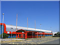
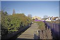
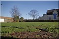
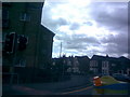
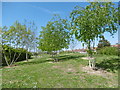
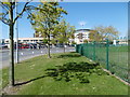

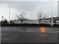
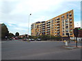
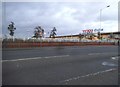
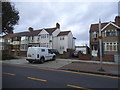
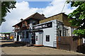
36 photos from this area
Area Information
Key information about the RM7 0QL including its size, population, and administrative classification.
- Area Type
- Postcode
- Area Size
- 9737 m²
- Population
- 1558
- Population Density
- 6165 people/km²
House Prices in RM7 0QL
32
Properties
£282,300
Average Sold Price
£77,000
Lowest Price
£563,000
Highest Price
Showing 32 properties
| Address | Type | Beds | Baths | Last Sale Price | Last Sale Date | |
|---|---|---|---|---|---|---|
| 69 Norwood Avenue, Romford, RM7 0QL | Terraced | 3 | 1 | £440,000 | Jan 2024 | |
| 107 Norwood Avenue, Romford, RM7 0QL | Terraced | 3 | 1 | £420,000 | Sep 2023 | |
| 73 Norwood Avenue, Romford, RM7 0QL | Semi-detached | 5 | 2 | £563,000 | Jul 2023 | |
| 97 Norwood Avenue, Romford, RM7 0QL | house | - | - | £460,000 | Oct 2021 | |
| 93 Norwood Avenue, Romford, RM7 0QL | Terraced | 3 | - | £365,000 | Sep 2020 | |
| 81 Norwood Avenue, Romford, RM7 0QL | Semi-detached | 5 | 2 | £430,000 | May 2020 | |
| 63 Norwood Avenue, Romford, RM7 0QL | Semi-detached | 3 | - | £360,000 | Jul 2017 | |
| 85 Norwood Avenue, Romford, RM7 0QL | Terraced | - | - | £340,000 | Nov 2016 | |
| 109 Norwood Avenue, Romford, RM7 0QL | Terraced | 3 | - | £220,000 | Jan 2014 | |
| 67 Norwood Avenue, Romford, RM7 0QL | Terraced | 3 | - | £208,500 | Sep 2013 |
Page 1 of 4
Energy Efficiency in RM7 0QL
Amenities
Schools
| Rank | School | Type | Entry gender | Ages |
|---|
Explore more schools in this area
Go to Schools tabDemographics
Household Size
Family (3-5 people)
most common
Accommodation Type
Houses
most common
Tenure
71
majority
Ethnic Group
White
most common
Religion
N/A
most common
Household Composition
N/A
most common
Age
47
median
Adults (30-64 years)
most common
Household Deprivation
N/A
with no deprivation
NS-SEC
31
in Lower managerial occupations
Explore more demographic insights in this area
Go to Demographics tabPlanning
Planning Constraints
- Flood RiskPremium
- Ramsar Wetland SitesPremium
- Area of Outstanding Natural BeautyPremium
- Protected Nature ReservePremium
- Protected WoodlandPremium